Tasmanian Hiking Trip (2002)
Go for the lowres images first until you find a photo you want to see -- the big ones truly are big ones, and will
put a strain on both ends of our connection.
All images are Copyright Tim Connors 2002, and I'd rather you didn't try to claim credit for them.
Back to my Home page
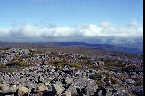
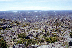
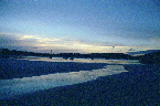
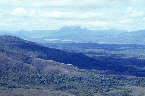
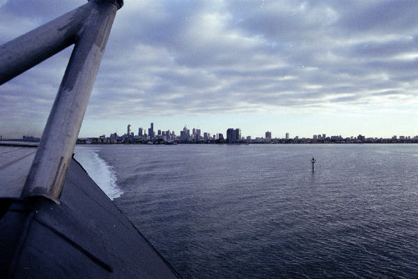
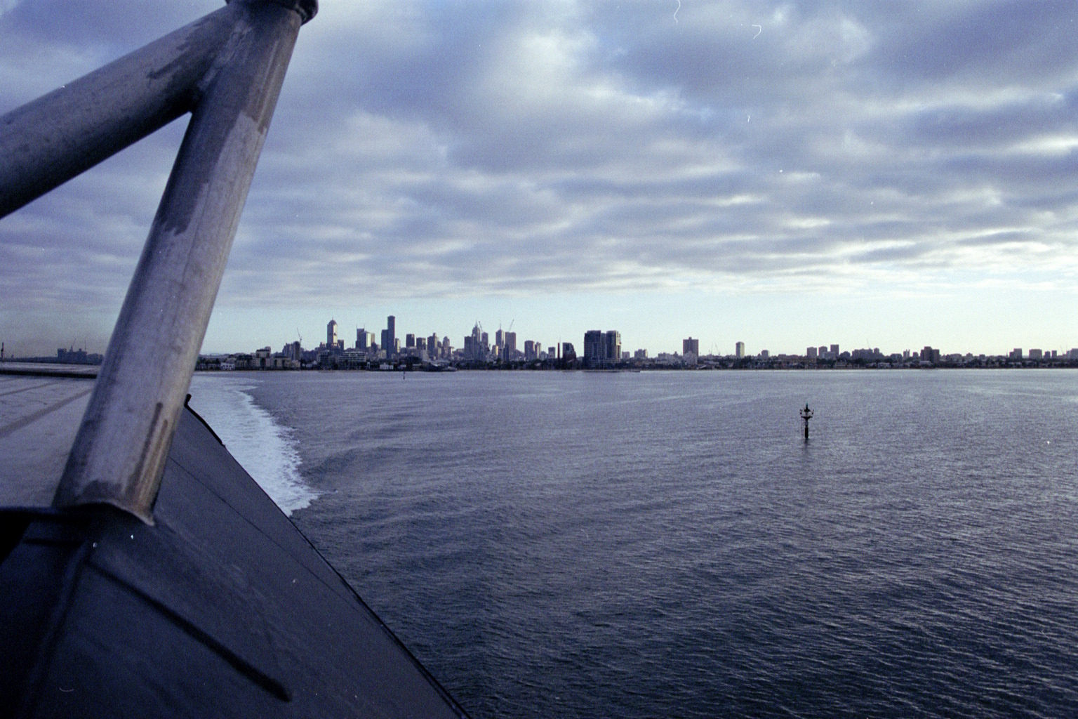
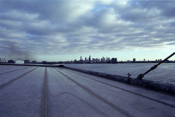
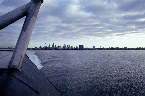 Low Res High Res Melbourne from the back of the cat
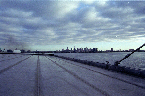 Low Res High Res Melbourne from the back of the cat
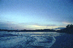
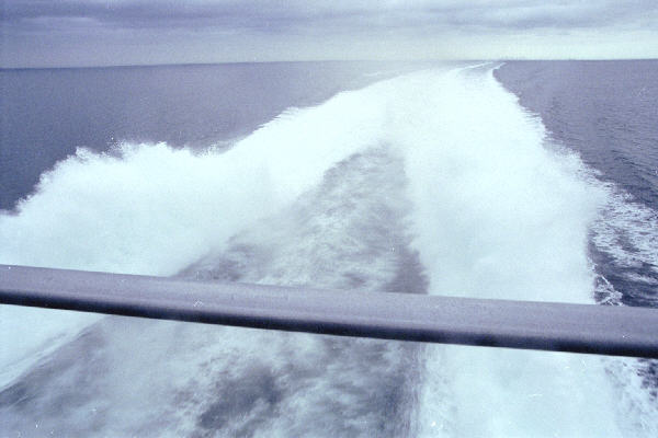
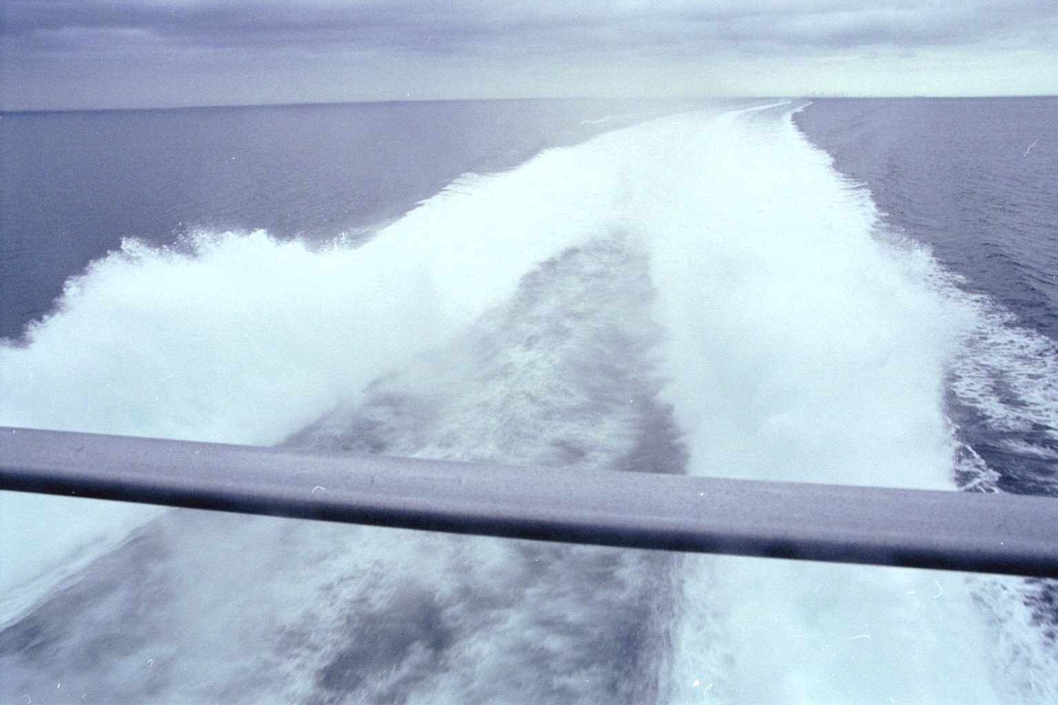
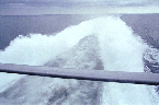 Low Res High res hydroplaning
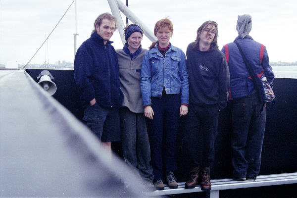
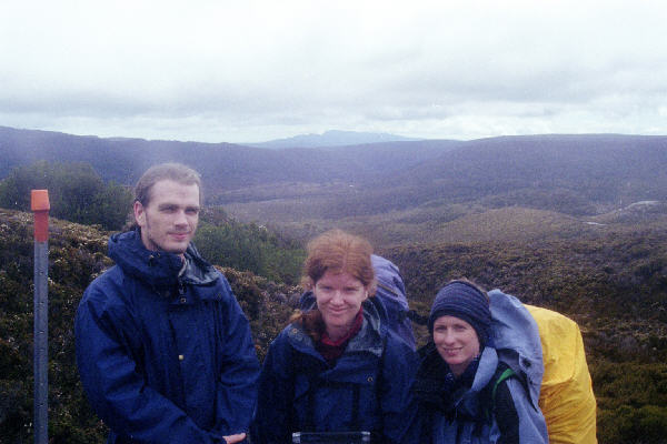
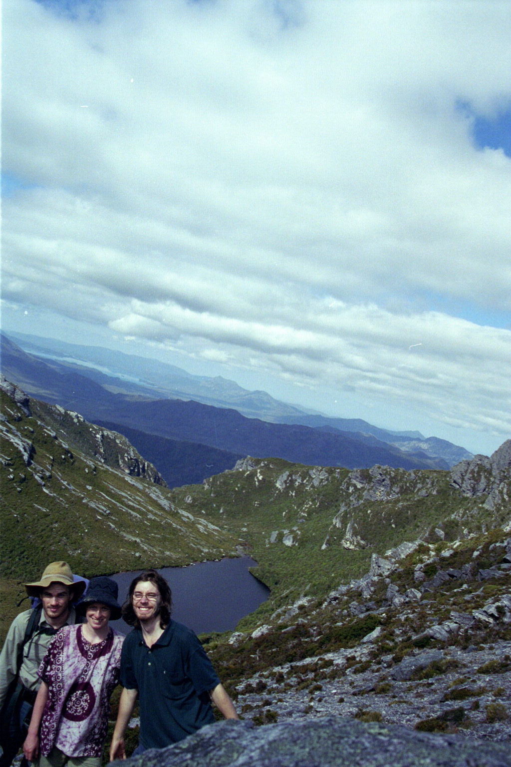
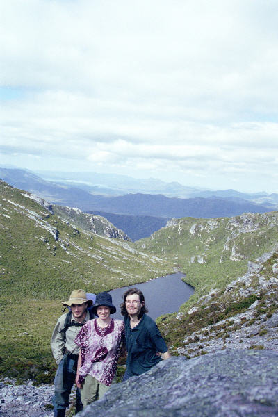
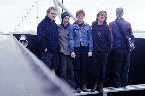 Low Res High Res Group in anticipation
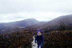
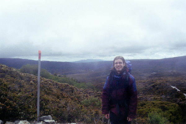
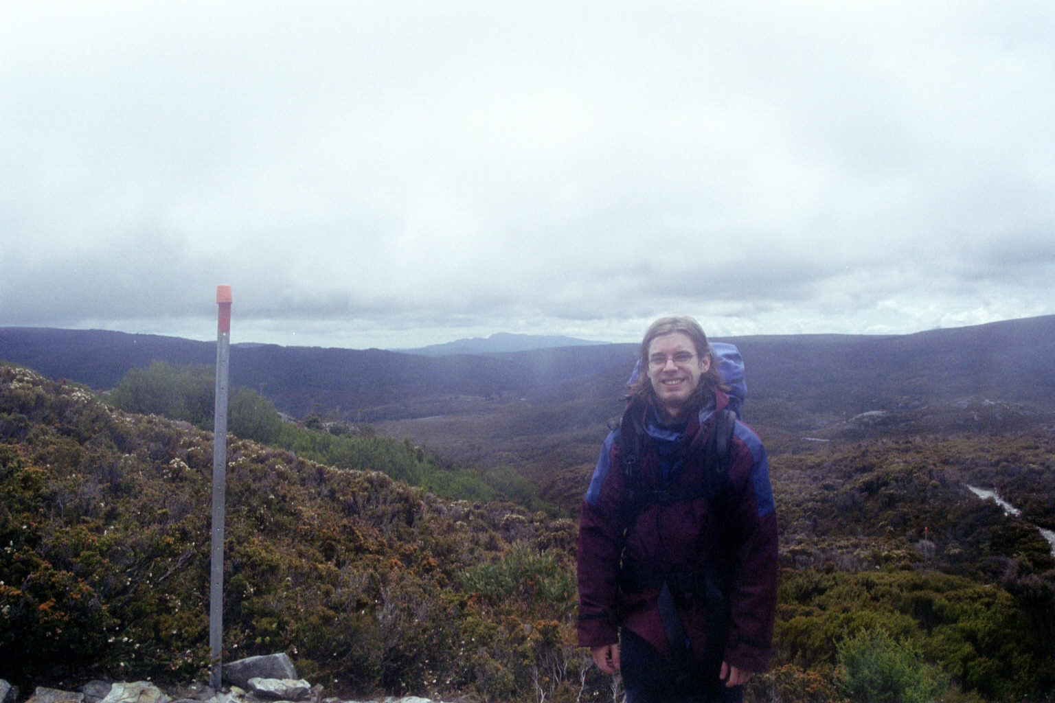
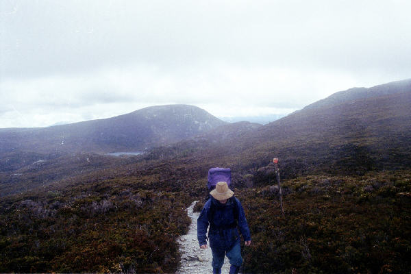
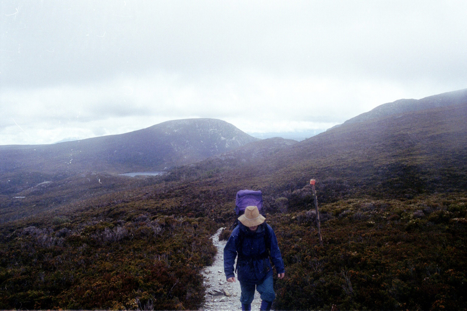
 Low Res High Res Me on our first walk - on our way to Barn Bluff
 Low Res High Res Them (John, Jocelyn, Danielle).
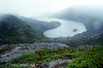
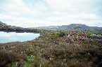
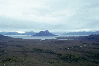
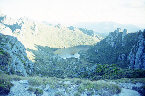
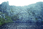
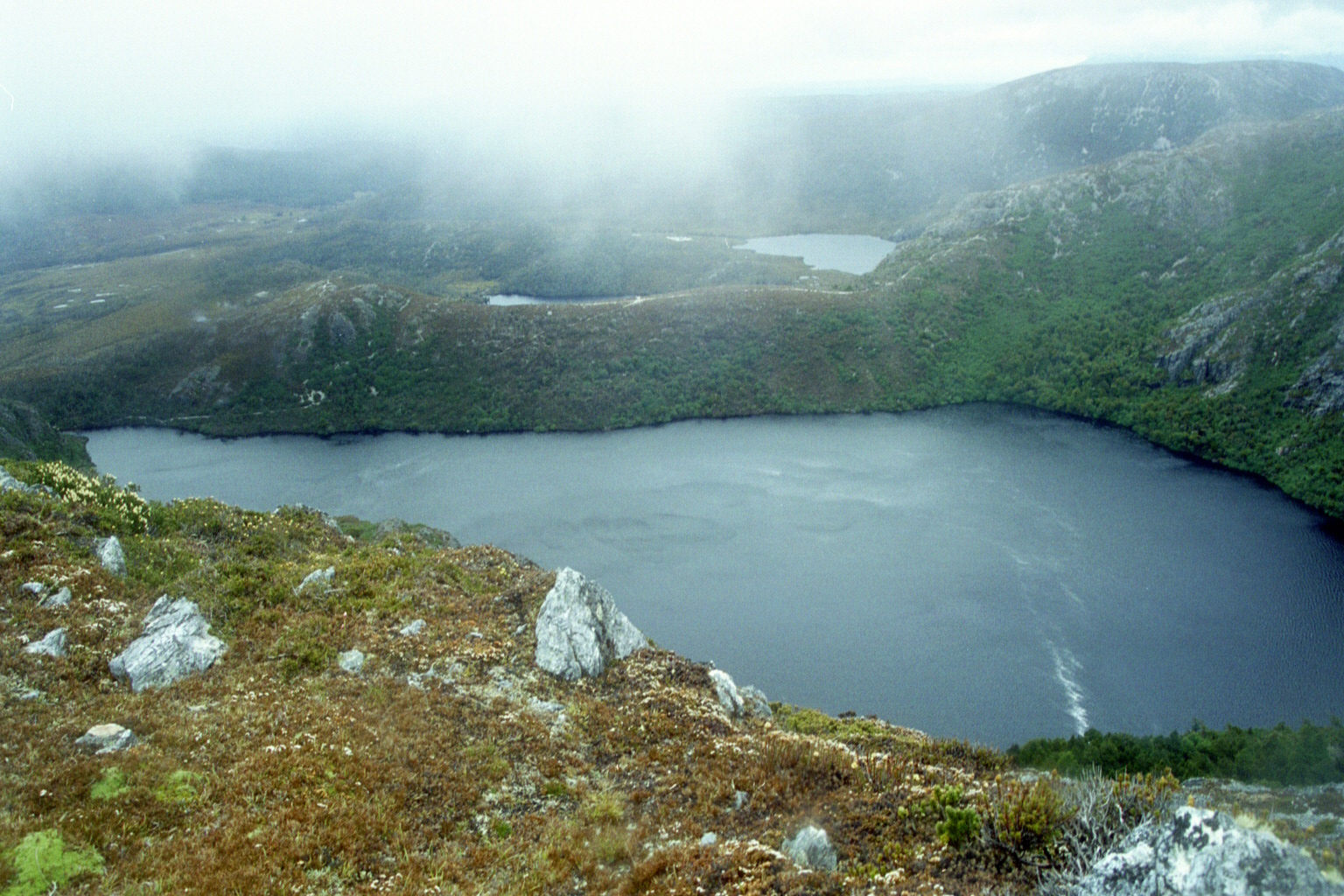
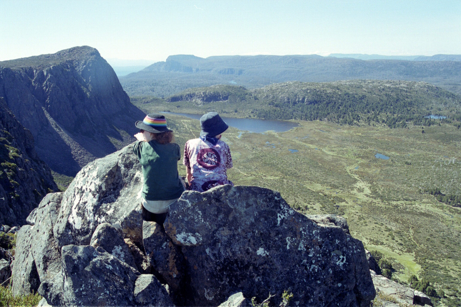
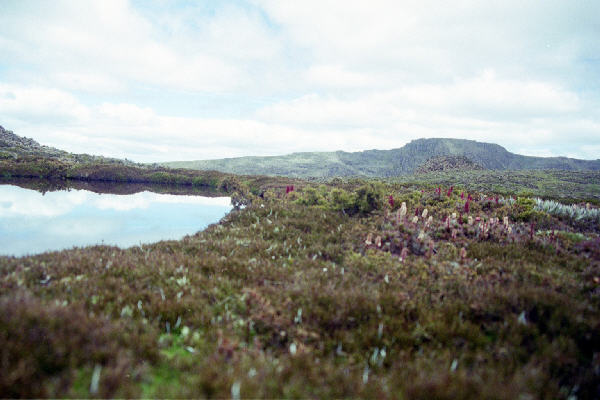
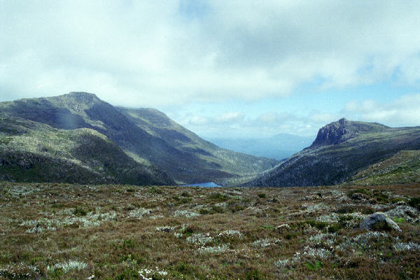
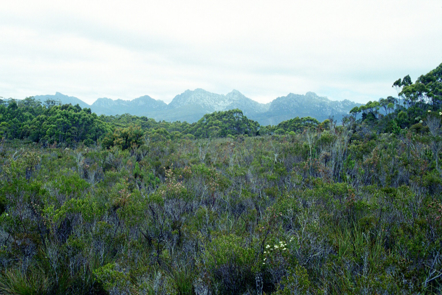
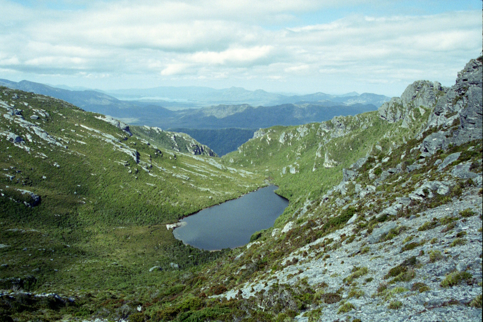
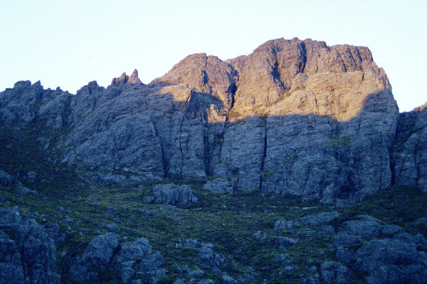
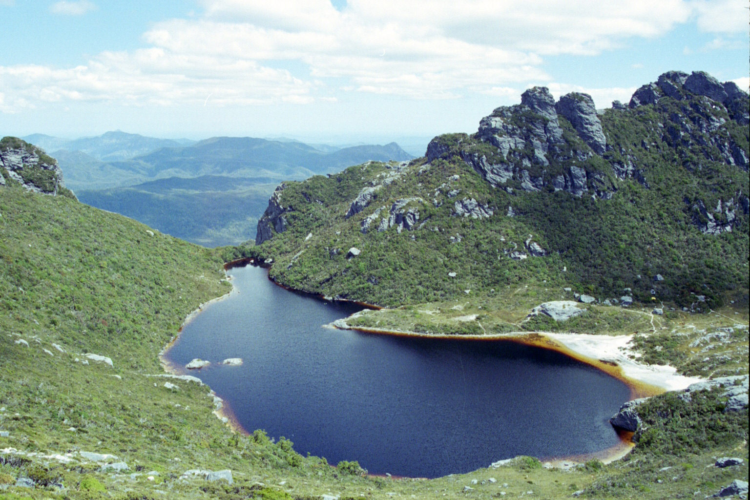
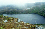 Low Res High Res Some lake on the way to the bluff
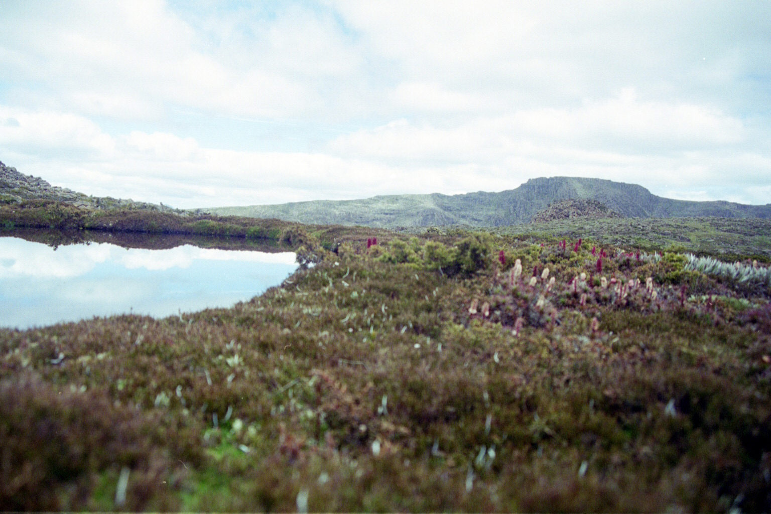
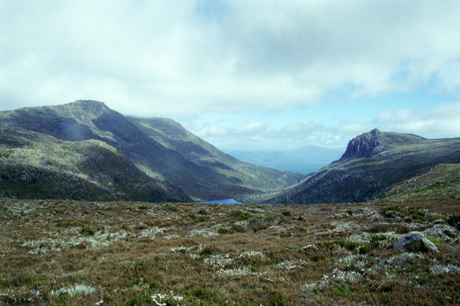
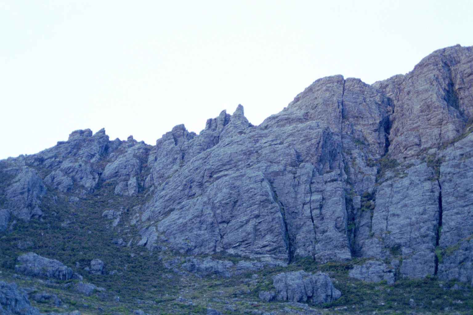
 Low Res High Res ditto
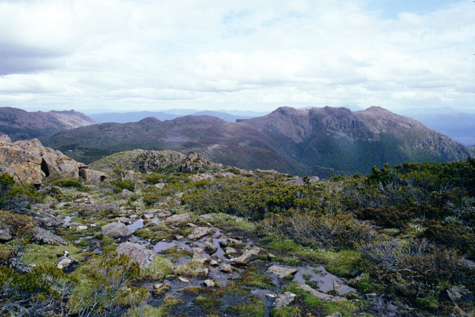
 Low Res High Res ditto
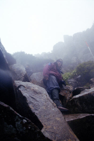
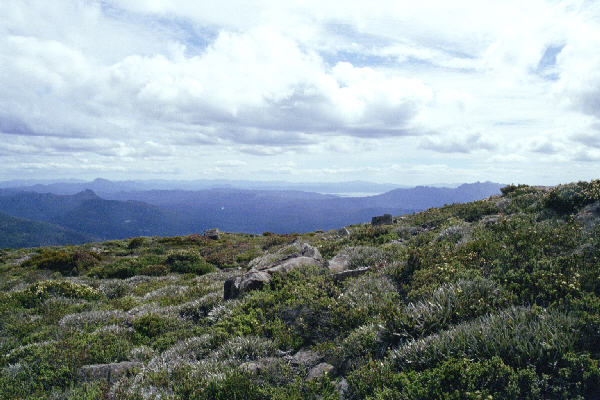
 Low Res High Res Somehow, I managed to get infront of the devil (John) and get a photo of him
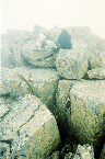
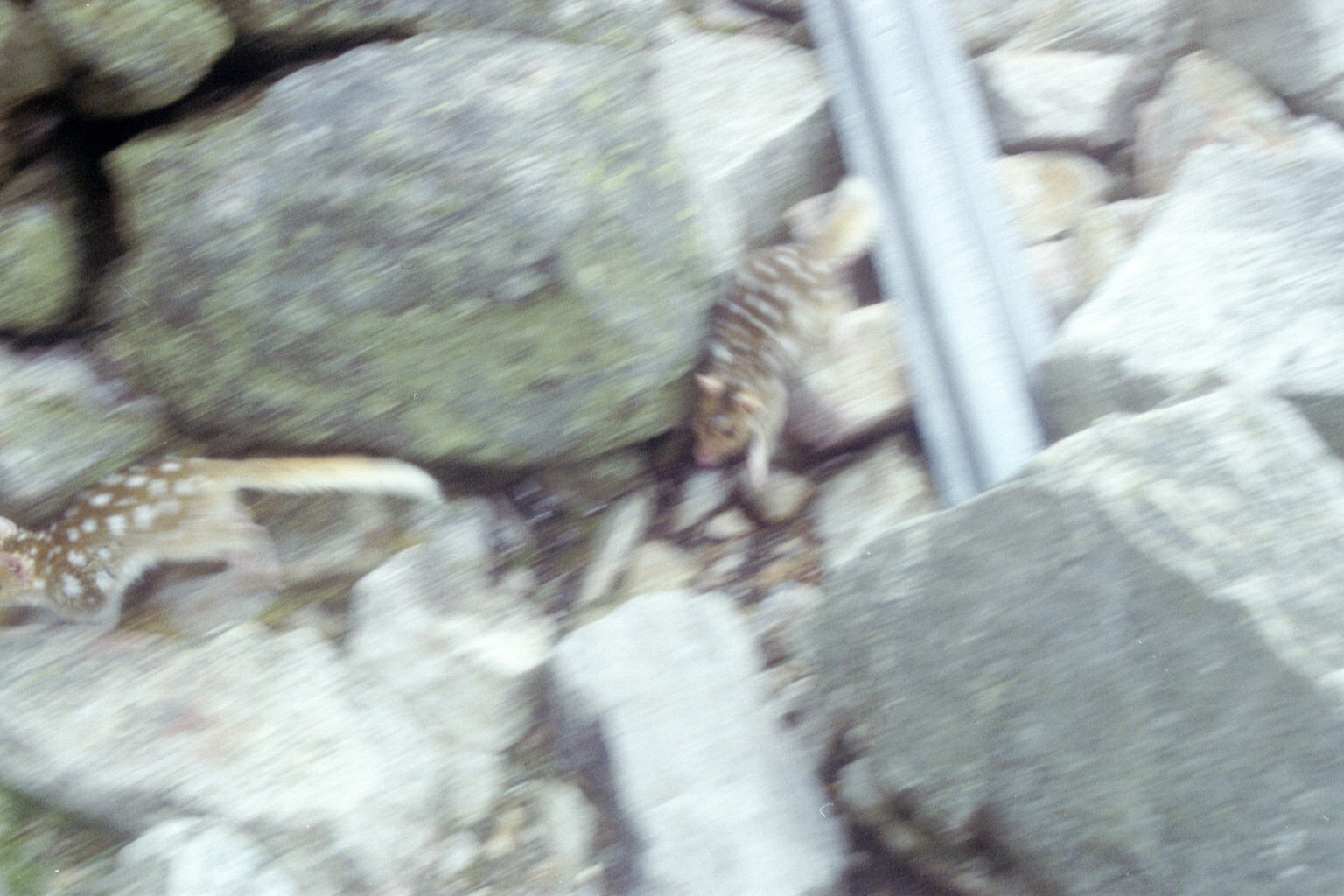
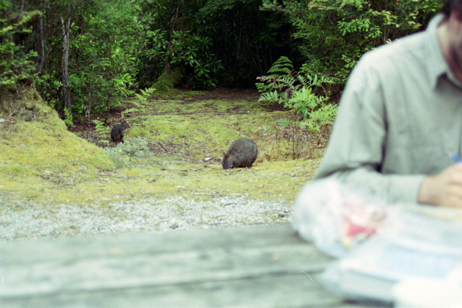
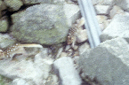 Low Res High Res A number of quolls at our first stop - a little hut. We decided not to have lunch there, because a very large group of people had just come up there, by a different way.
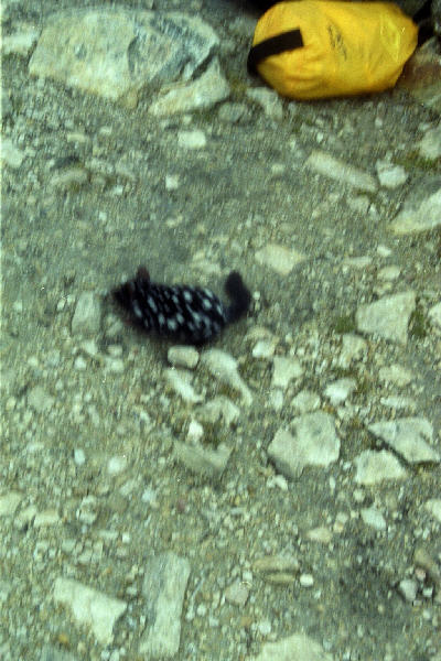
 Low Res High Res ditto
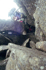
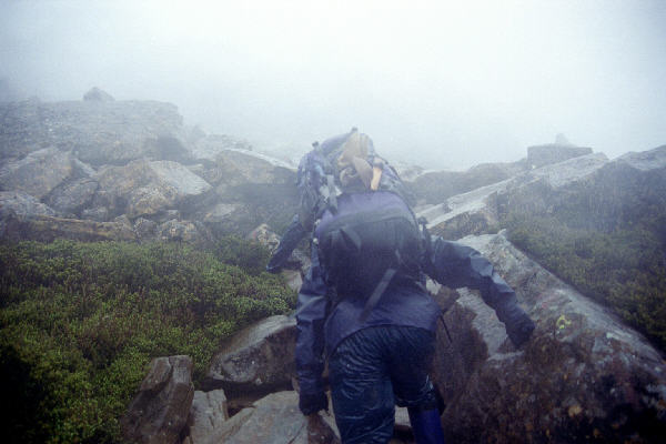
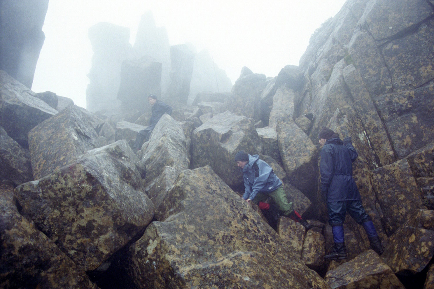
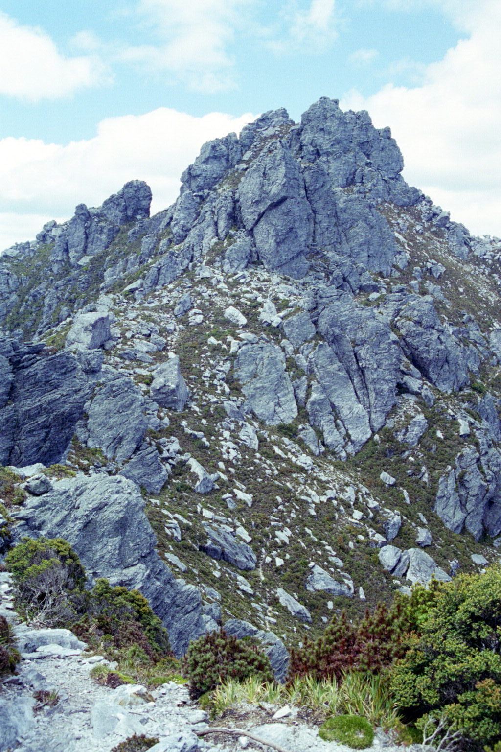
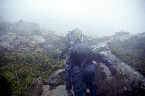 Low Res High Res John not-quite-struggling up some rock on the way up to Cradle Mountain.
 Low Res High Res Nadz - after everyone discarded their packs because of the futility of it :)
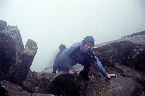
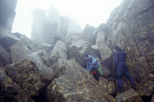
 Low Res High Res Everyone slowly climbing up - sans packs
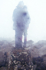
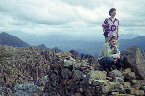
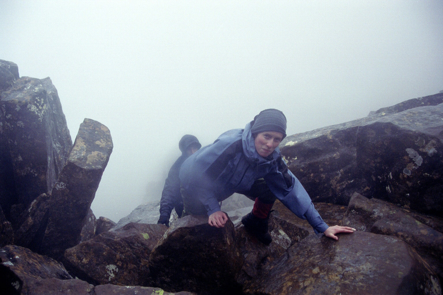
 Low Res High Res Yours truly
 Low Res High Res Aww, how cute
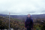
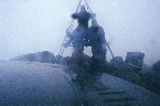
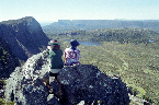
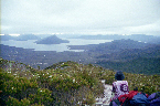
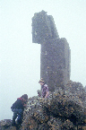
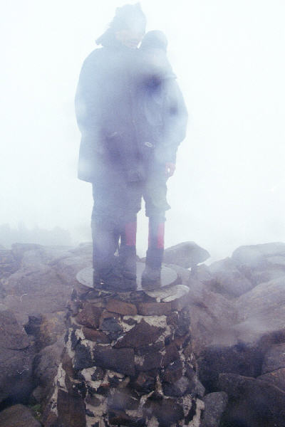
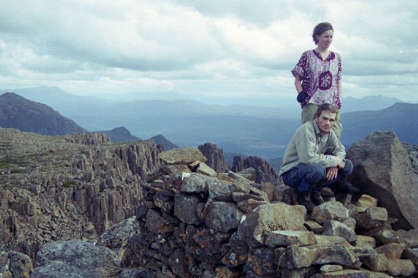
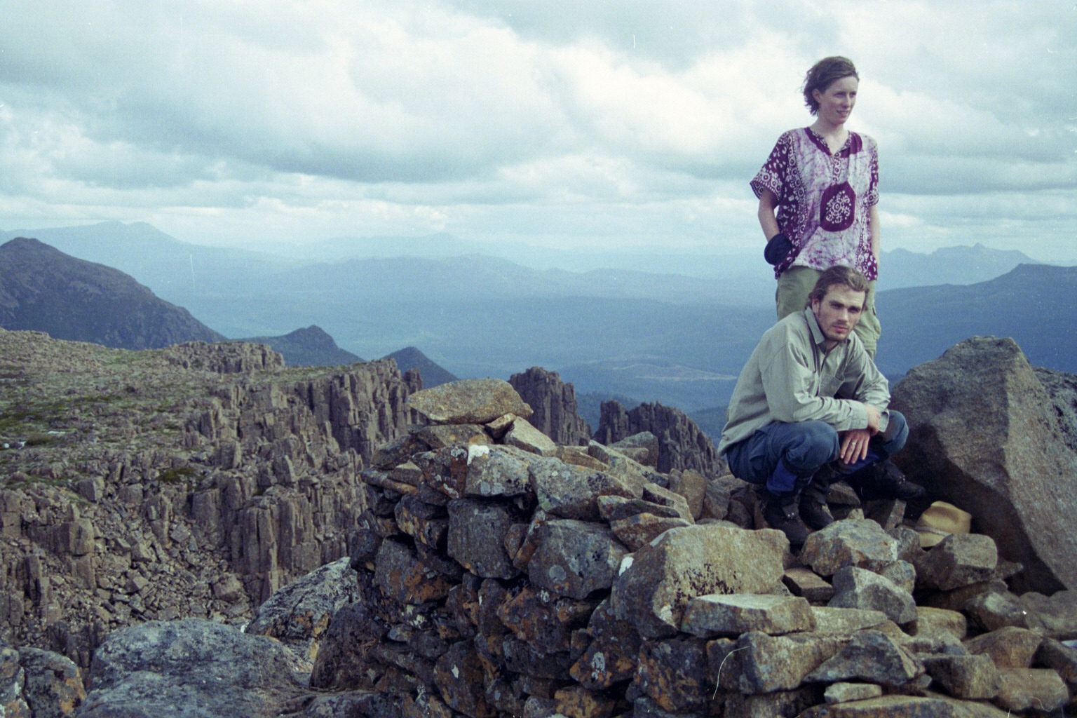
 Low Res High Res Others at trig point. The actual trig point is in the very near foreground
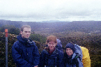
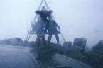
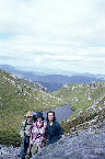
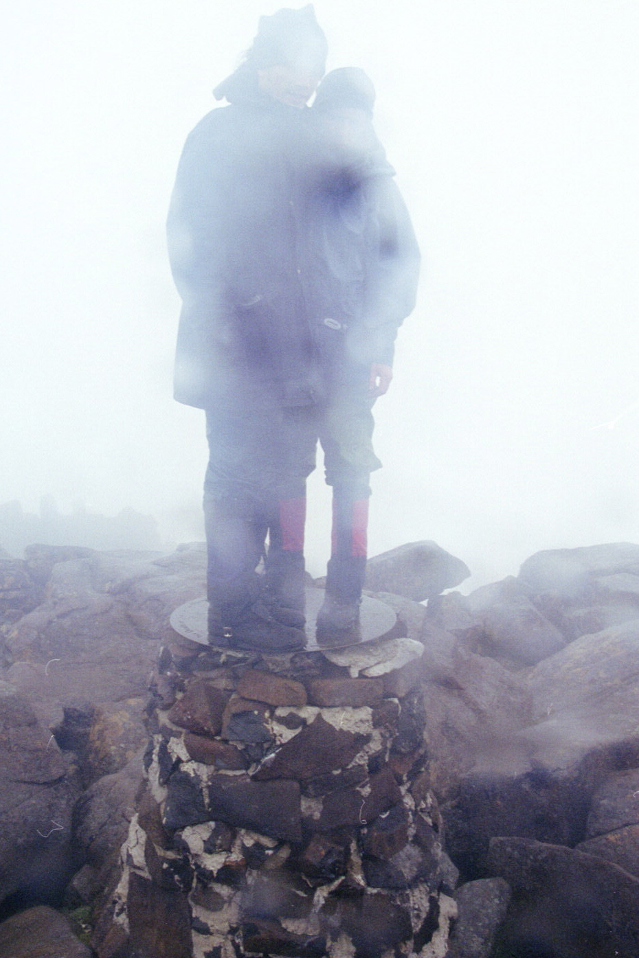
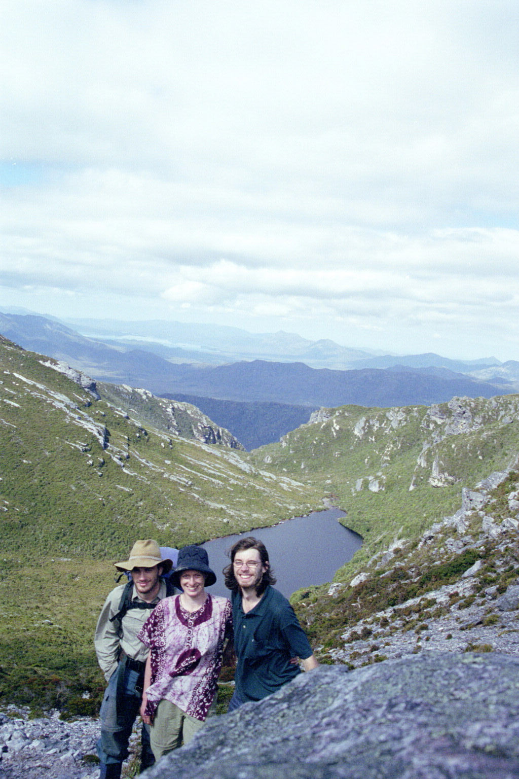
 Low Res High Res Everyone at trig point.
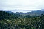
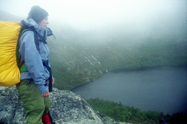
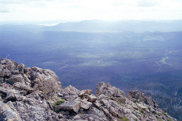
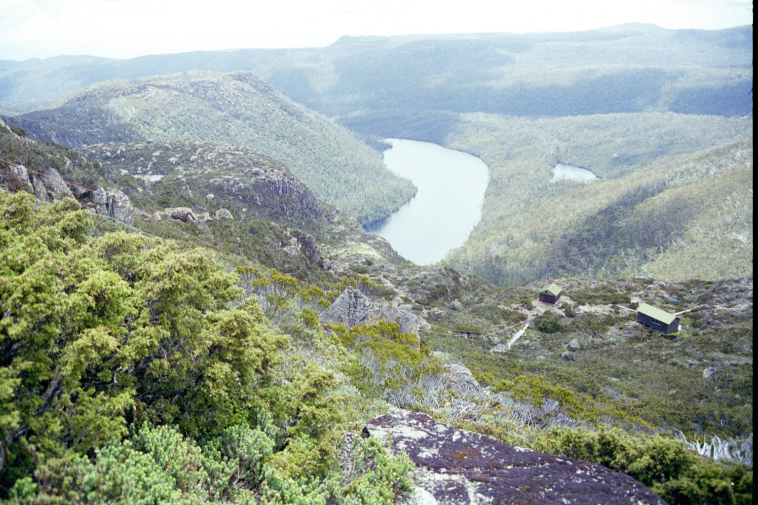
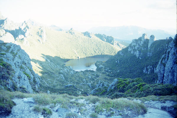
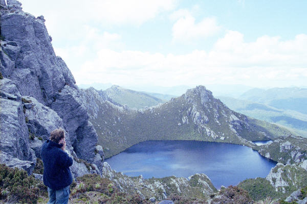
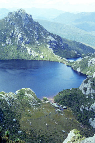
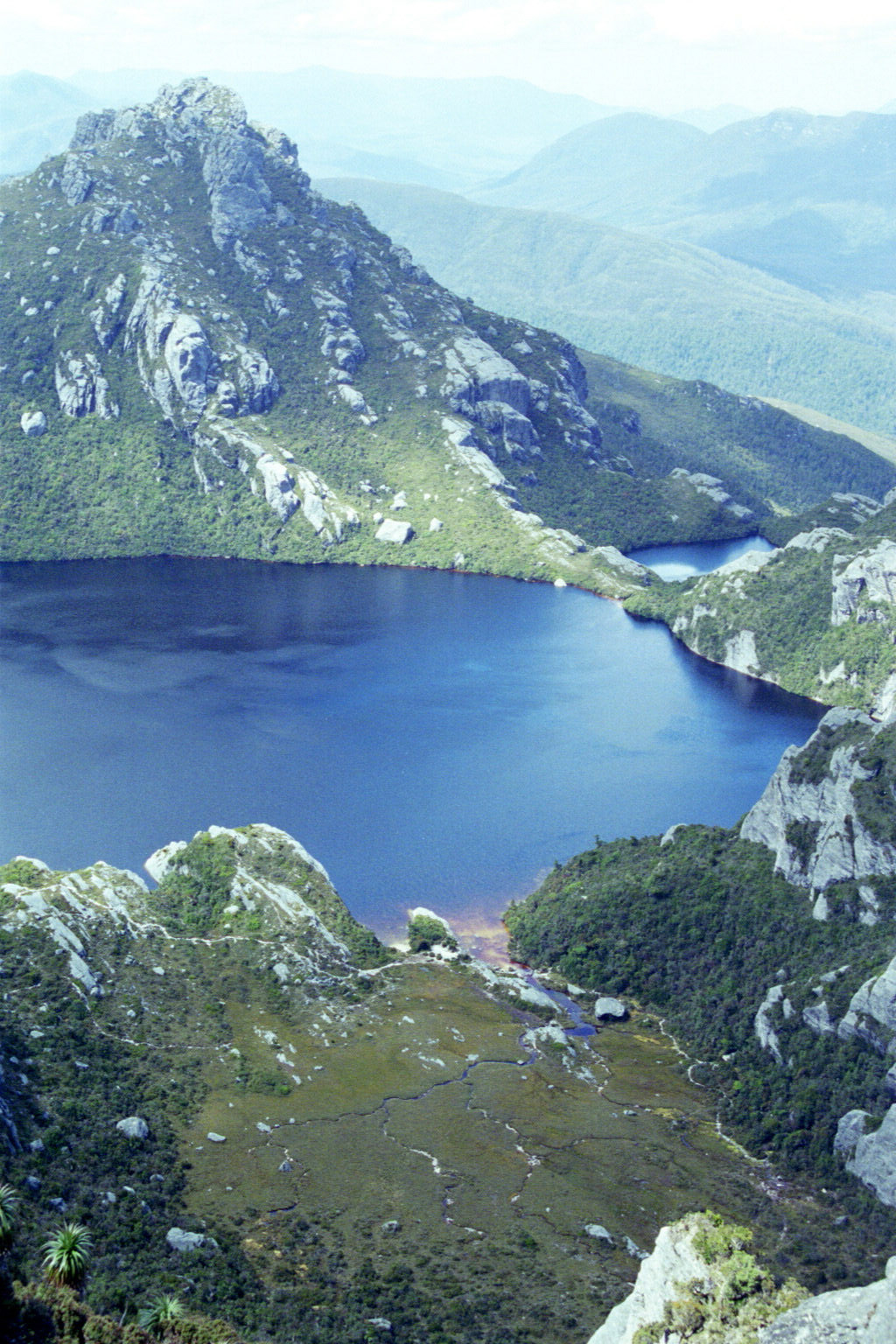
 Low Res High Res Dove lake? On the way back down from Cradle Mtn
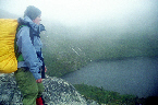
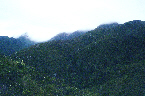
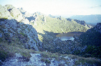
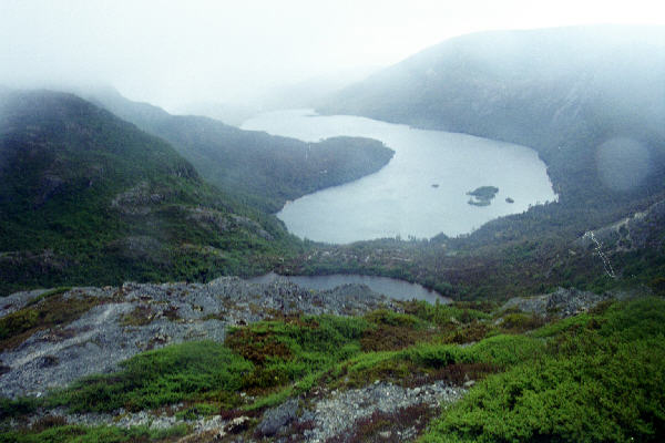
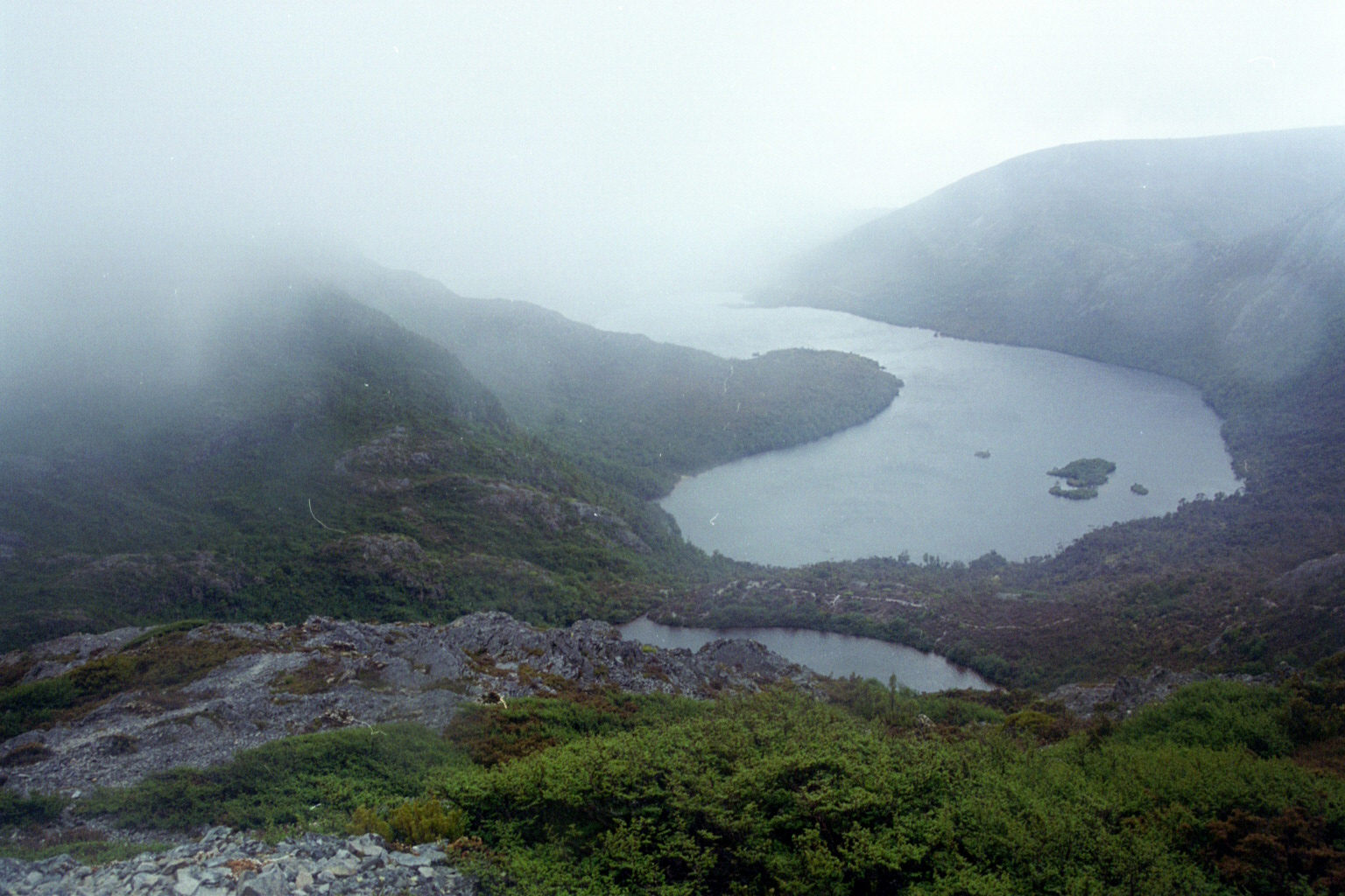
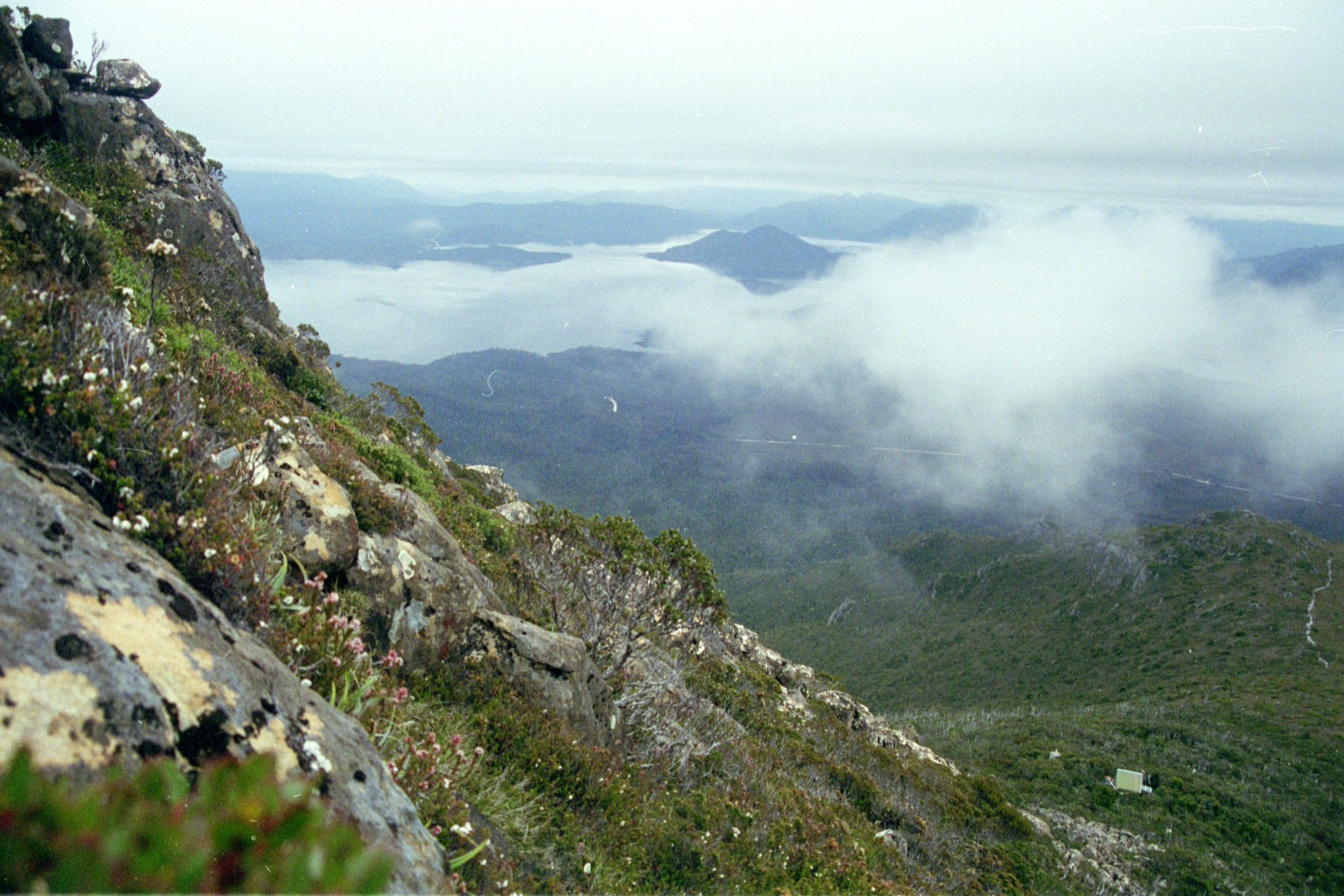
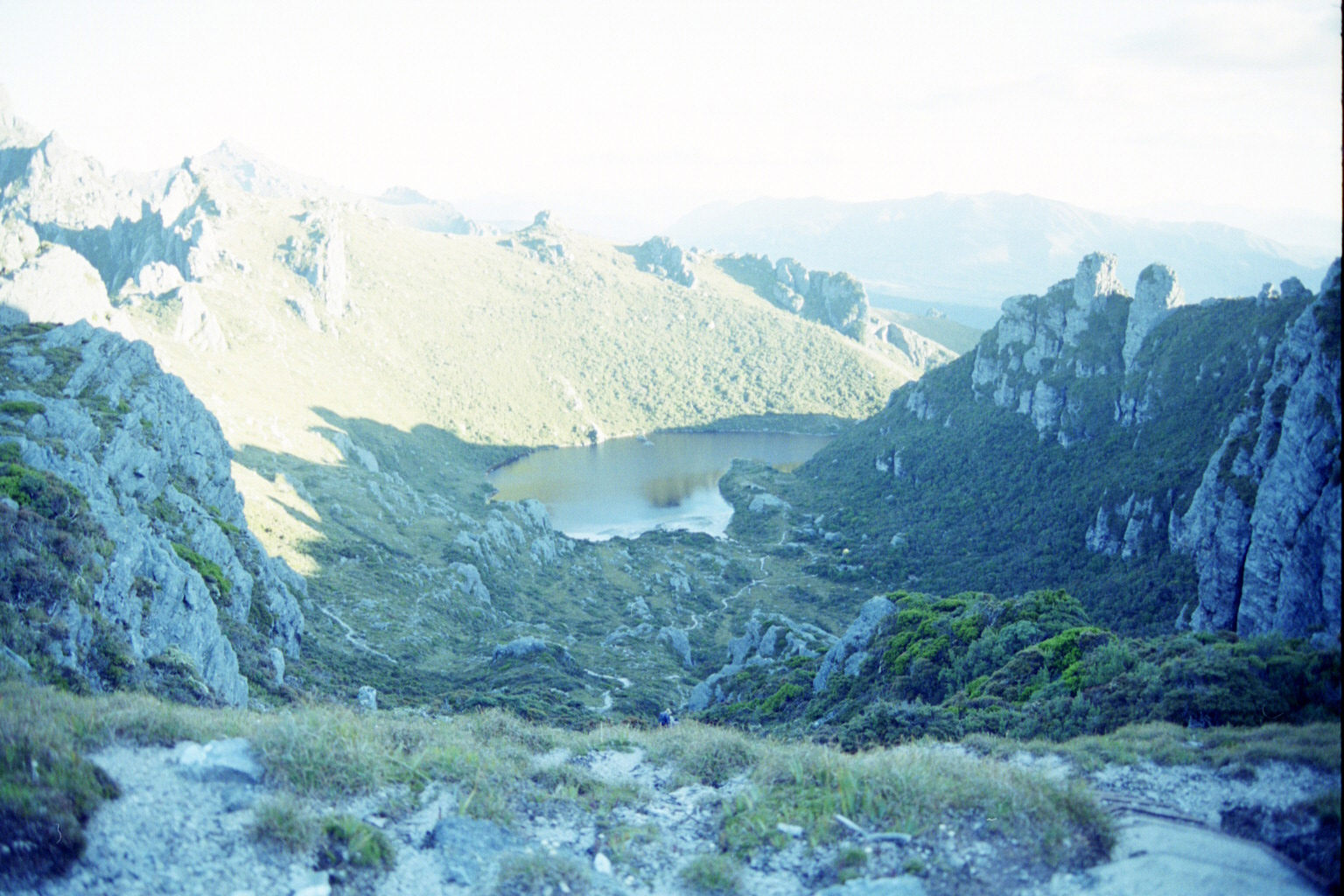
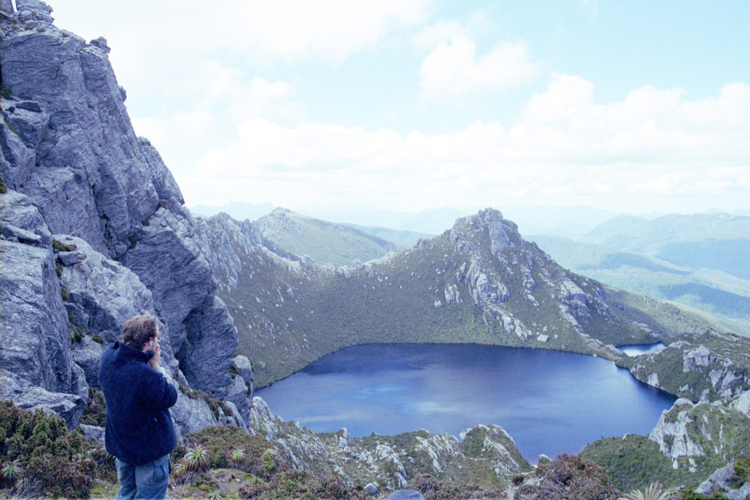
 Low Res High Res Dove lake peeking through the clouds
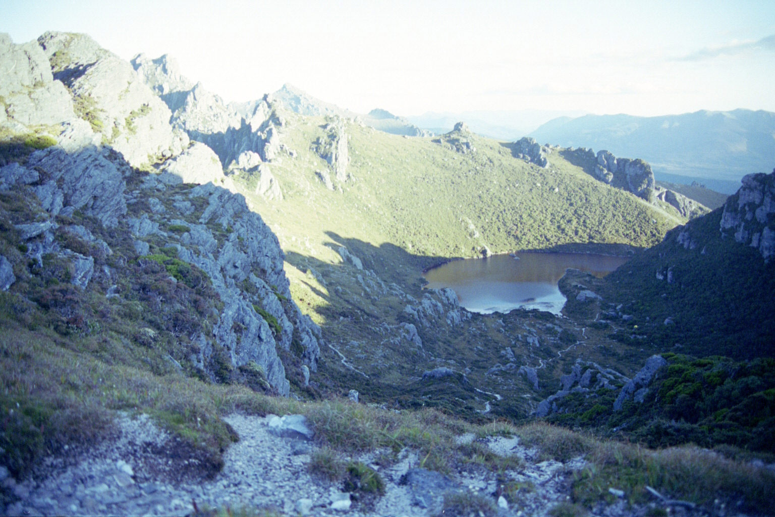
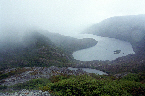 Low Res High Res Dove lake peeking through the clouds
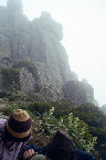
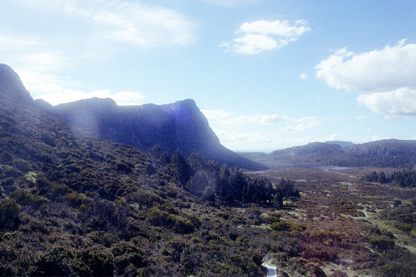
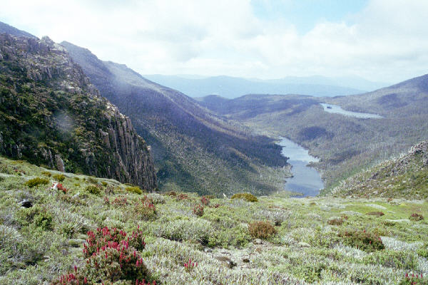
 Low Res High Res The Walls of Jerusalem, as we are approaching the camping spot
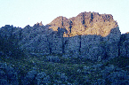
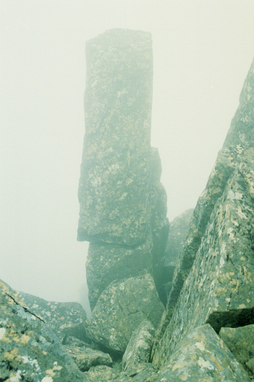
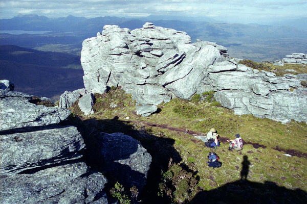
 Low Res High Res One of the rocks we will be doing tomorrow
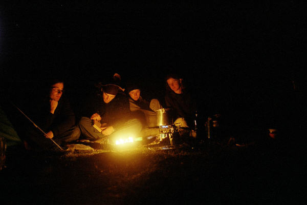
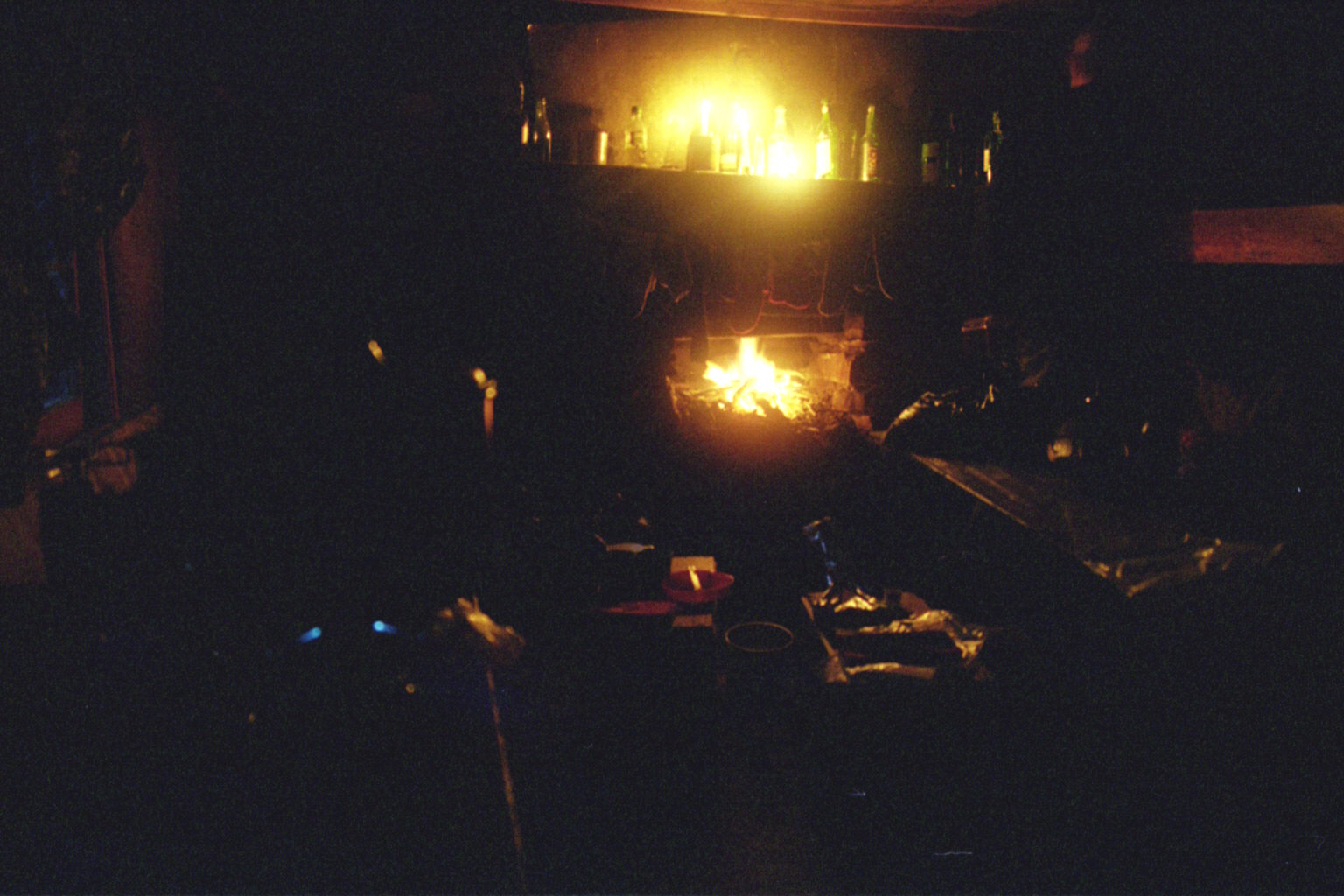
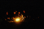 Low Res High Res Camping by the fire (OK - row of candles)
 Low Res High Res ditto
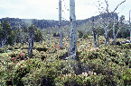
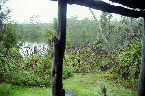
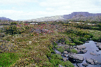
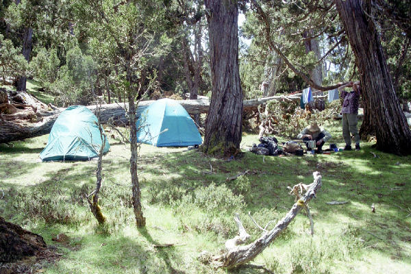
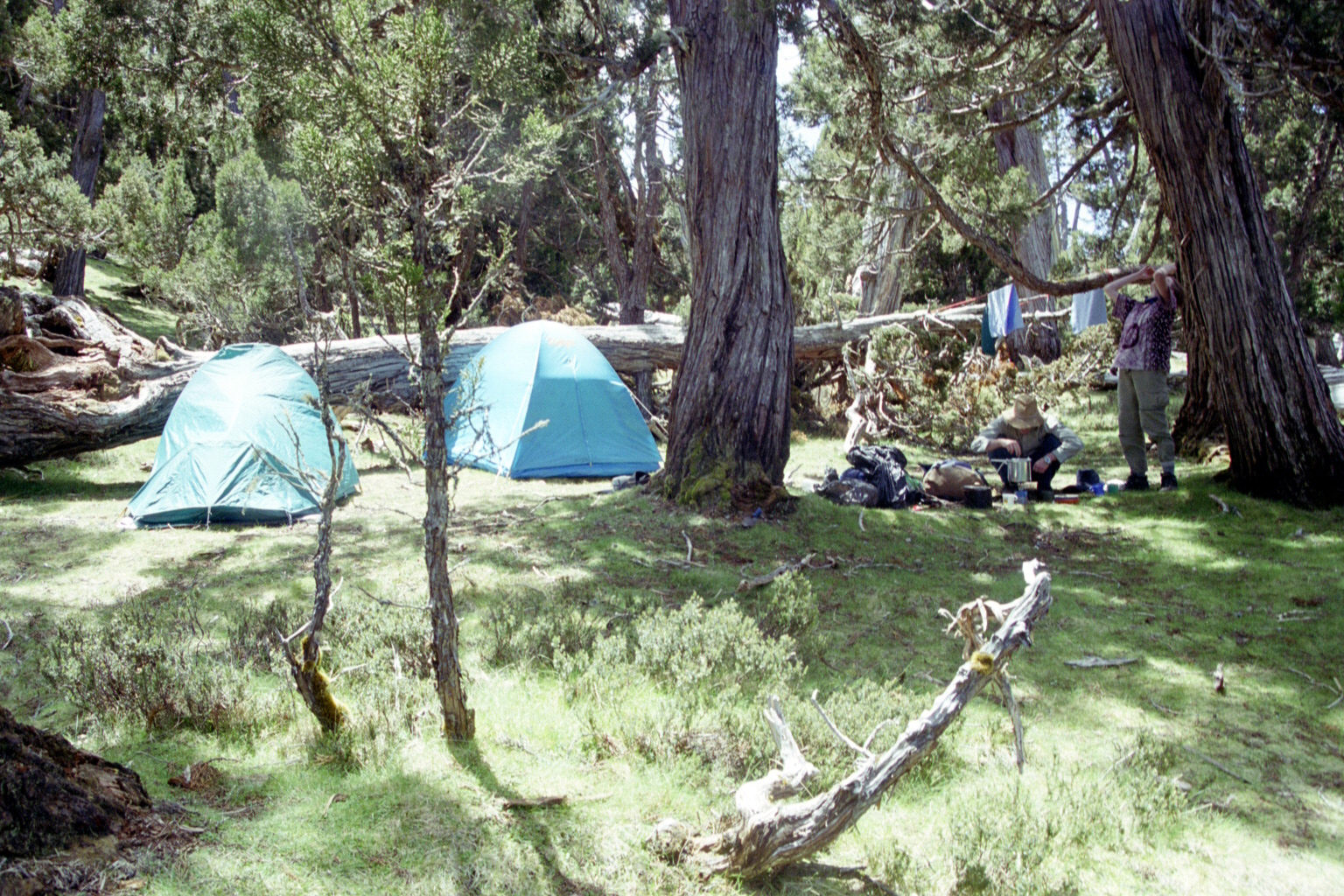
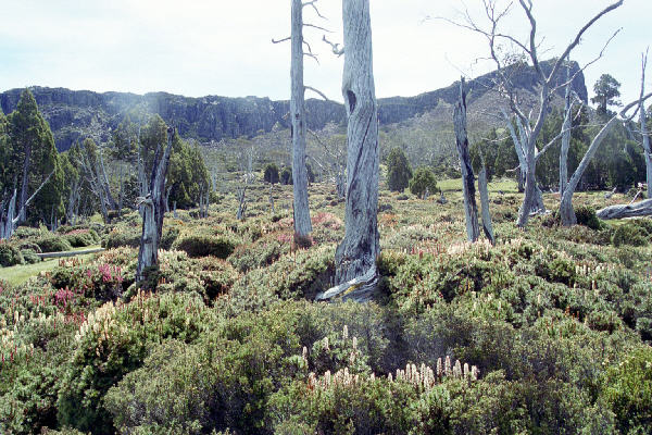
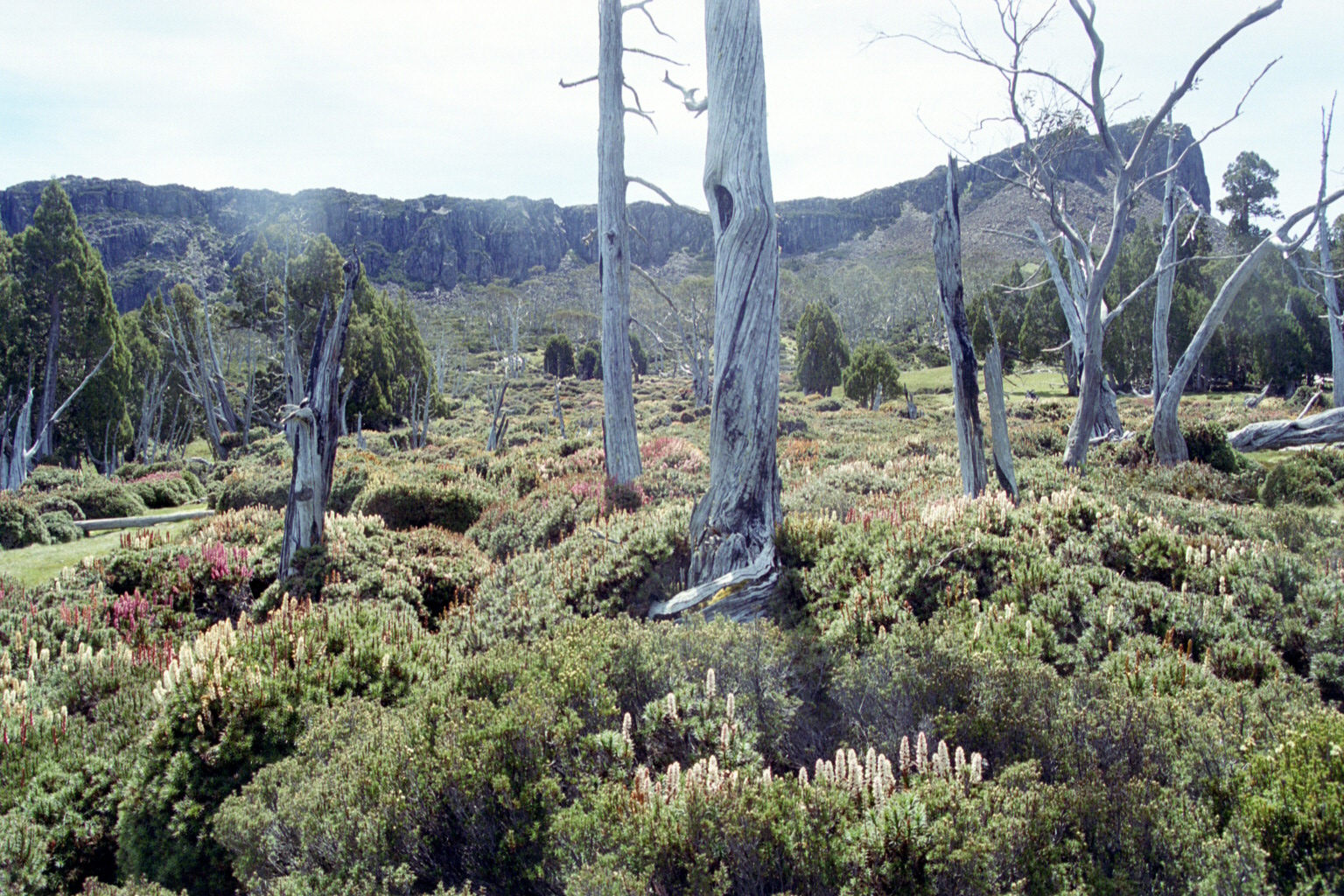
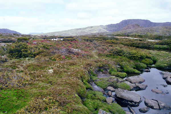
 Low Res High Res Our camping spot near the Walls. A very beautiful part of the world. Some of the dead trees were 100 years old and still not rotting
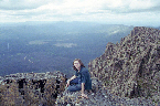
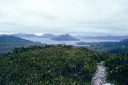
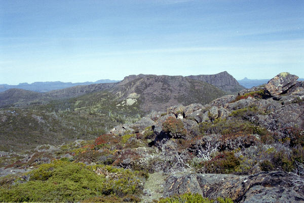
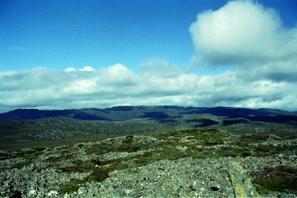
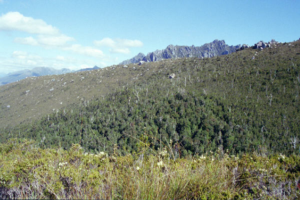
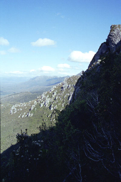
 Low Res High Res On top of Mt Jerusalem. Looking sort of towards Cradle Mtn.
 Low Res High Res On top of the Mt
 Low Res High Res Ditto
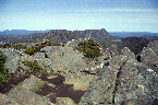
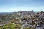
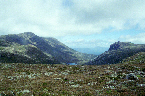
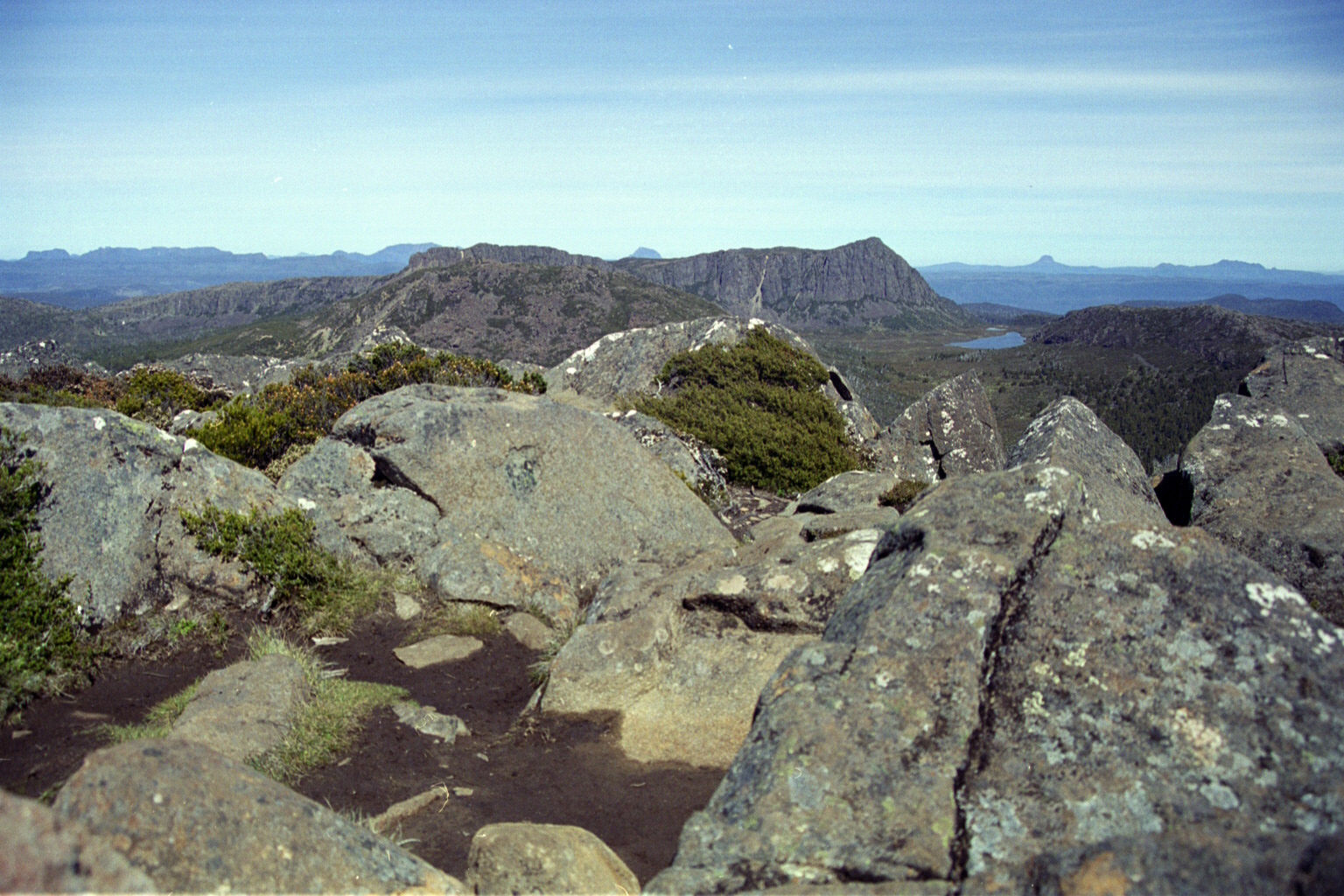
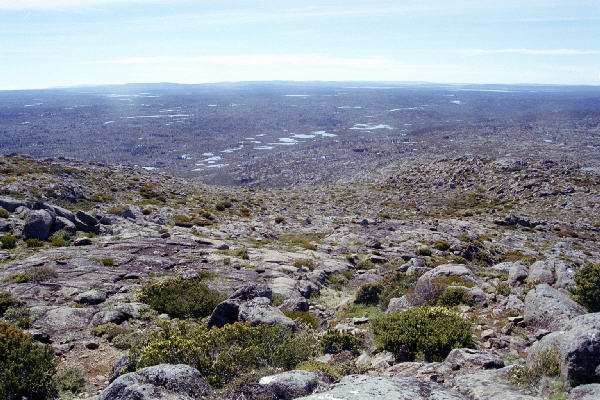
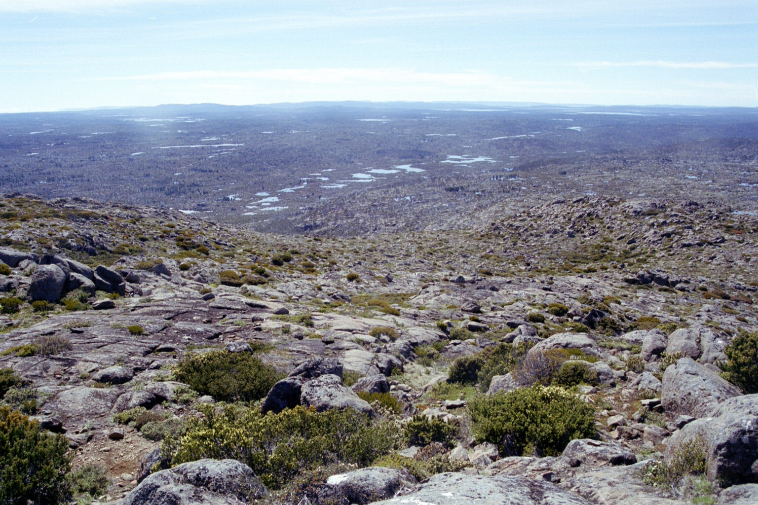
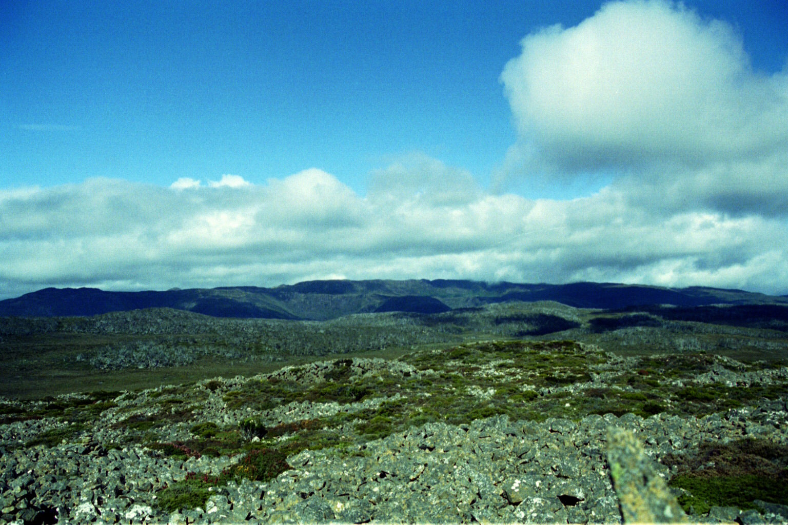
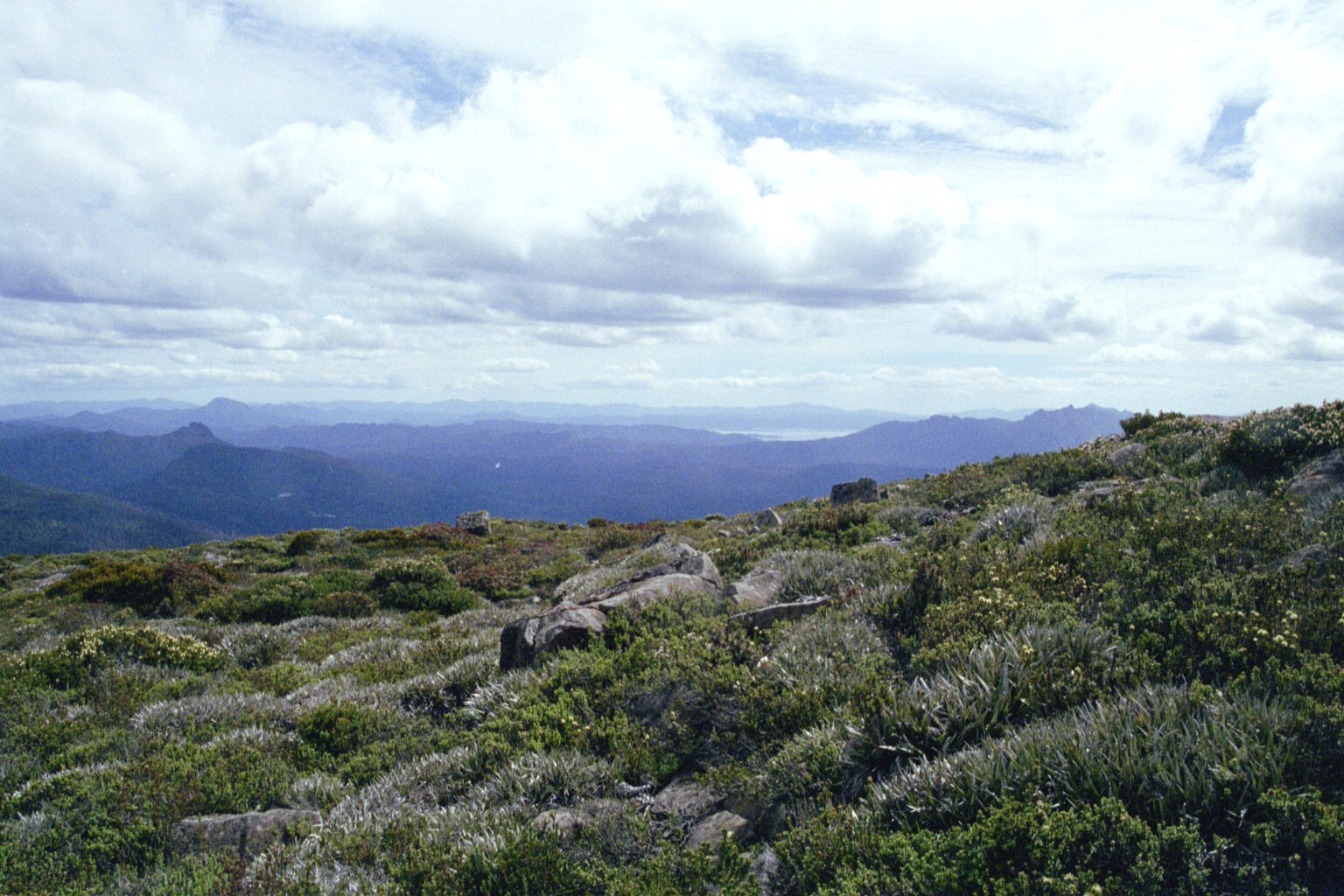
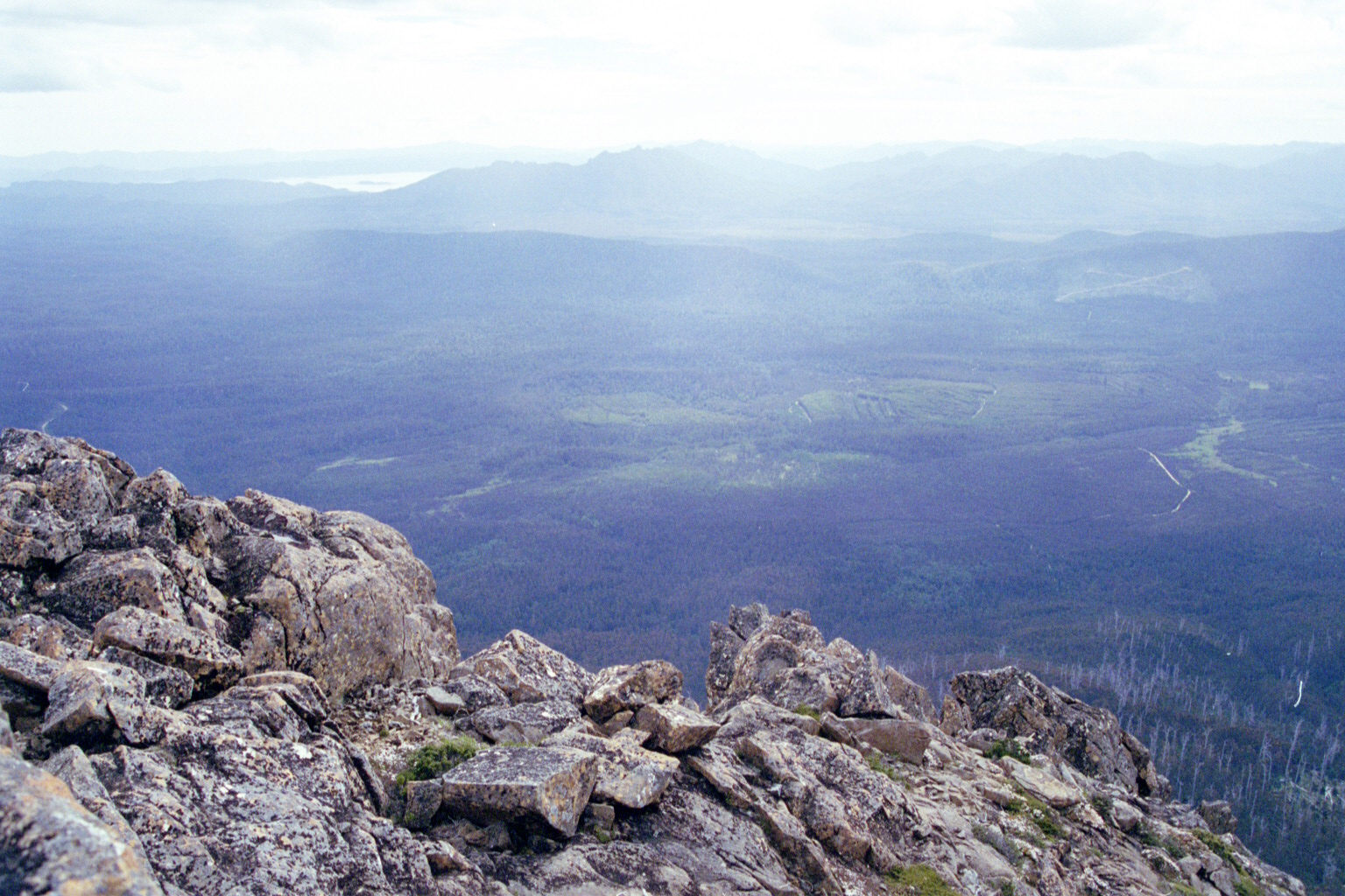
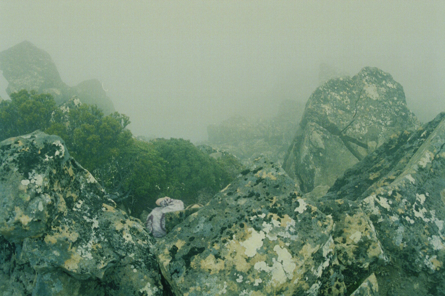
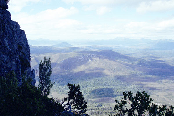
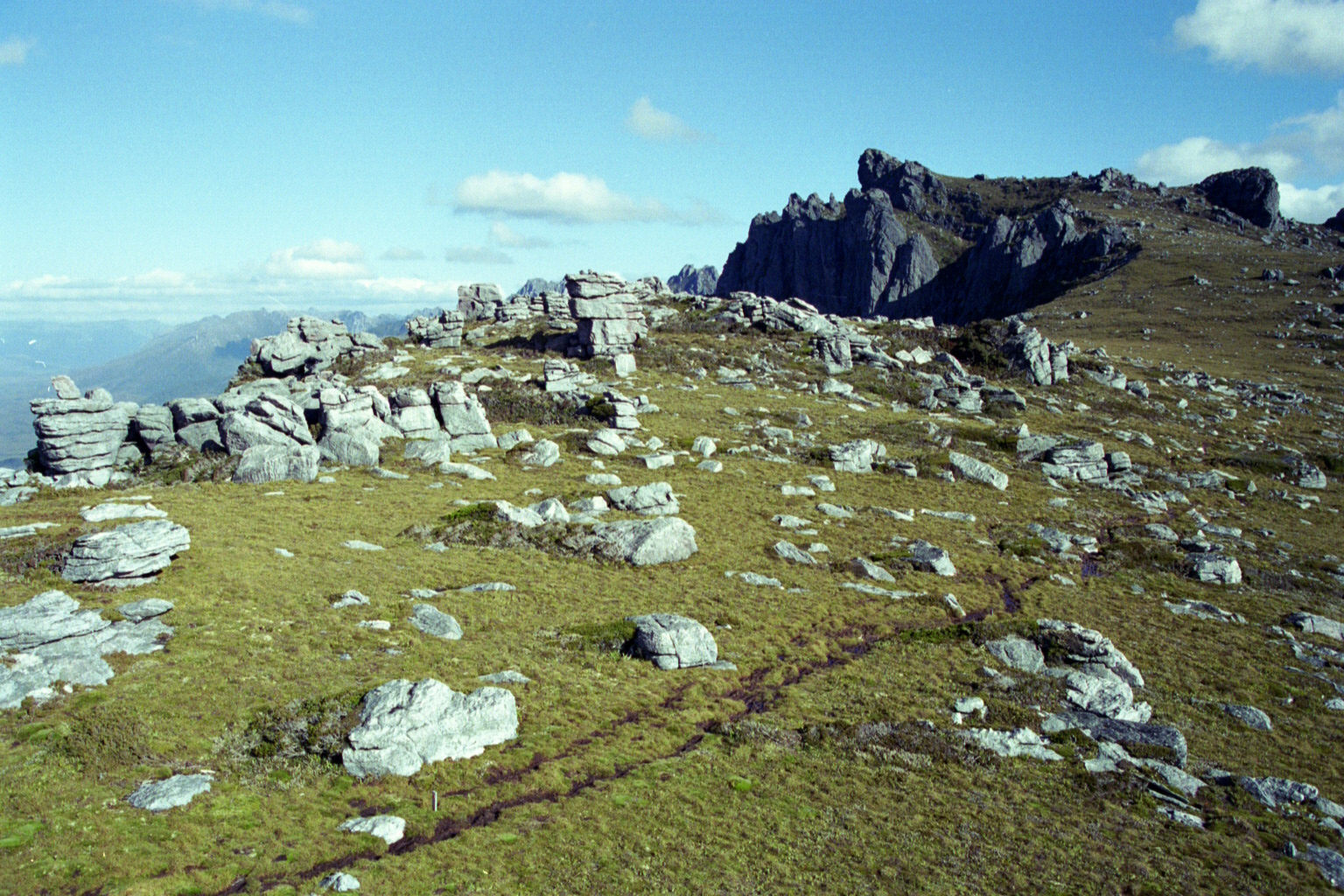
 Low Res High Res On top of Mt Jerusalem. There are about 4000 charted tarns (small lakes) in the Walls of Jerusalem - we are looking towards about 3999 of them. It looks like a gentle slope down, but the distances in the photograph are decieving. Those green dots below are clumps of trees.
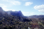
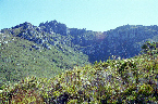
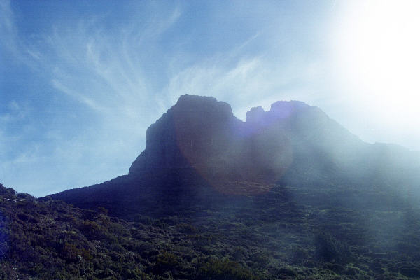
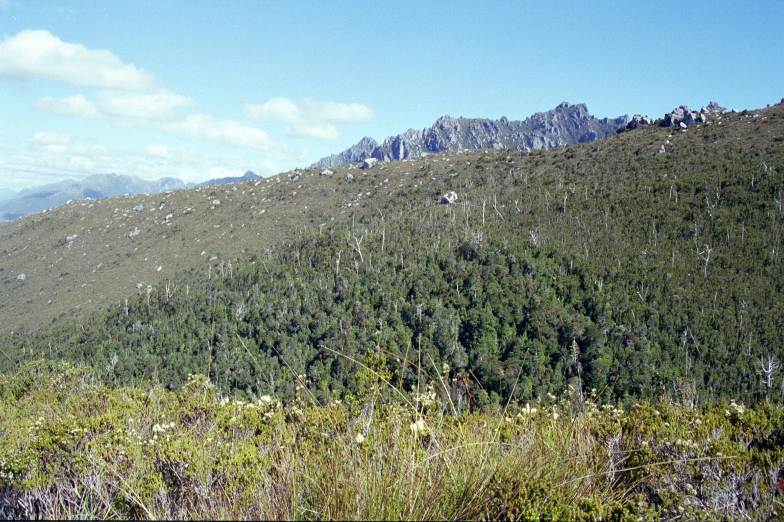
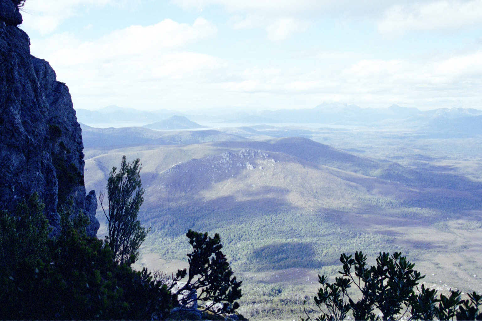
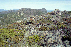 Low Res High Res Facing the western wall.
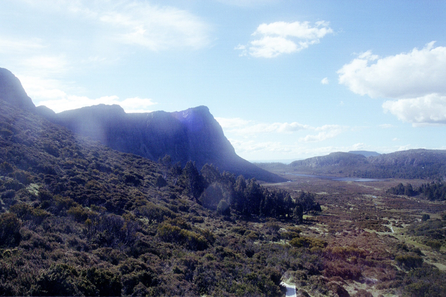
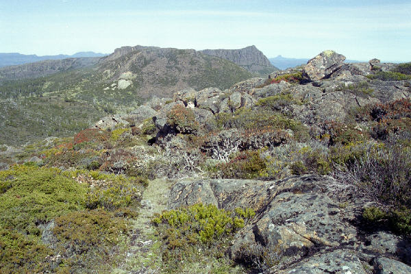
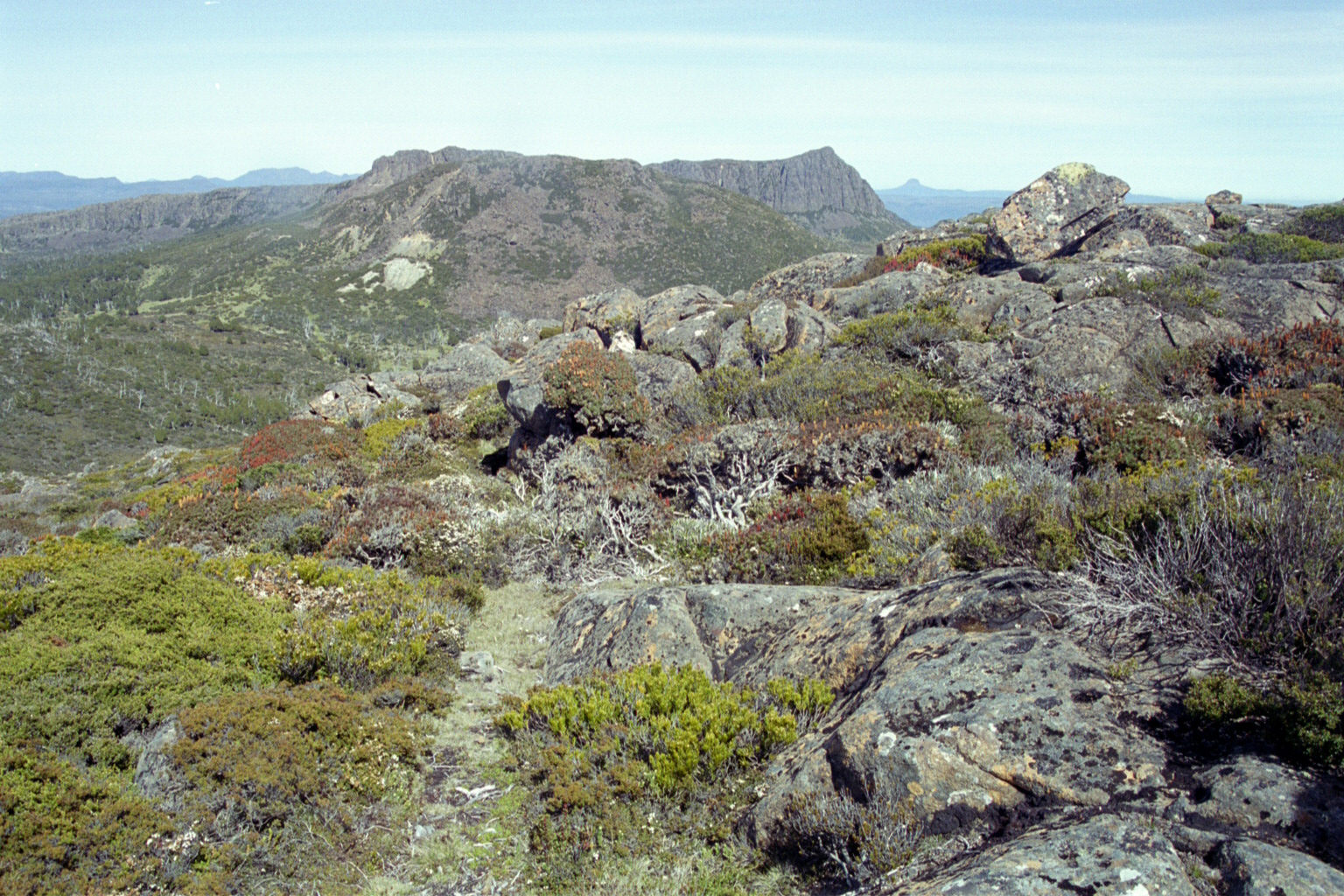
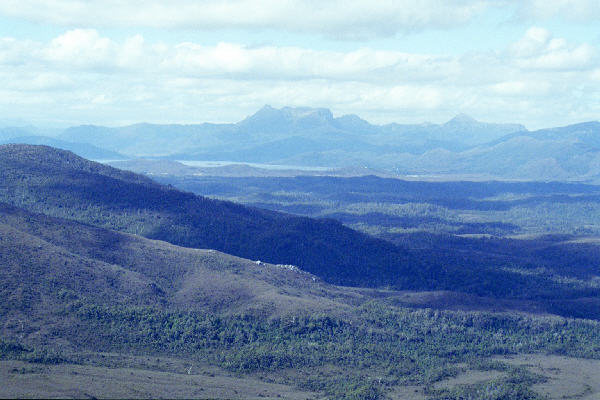
 Low Res High Res ditto. We think that might be Barn Bluff to the right of the wall.
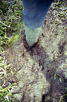
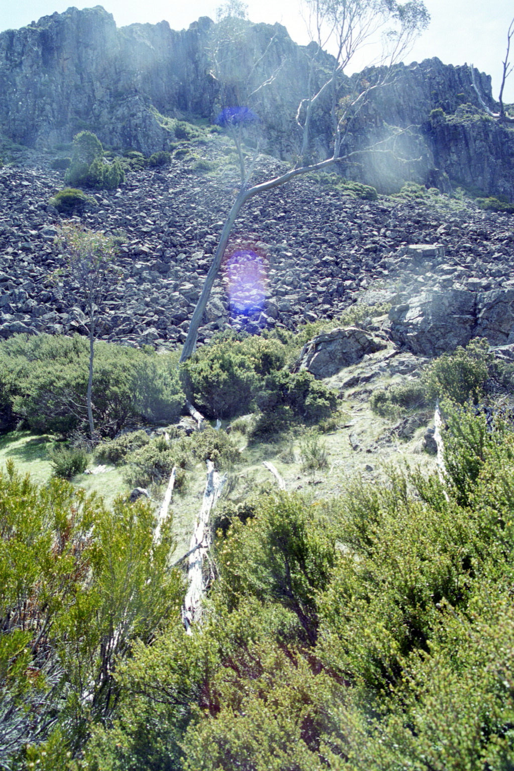
 Low Res High Res This was the scrub we had to wade through to get up the wall. Snakes were a concern, although we didn't end up seeing any. We had to actually avoid walking on the smooth parts, because this was fragile mossy stuff.
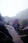
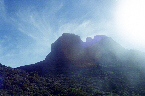
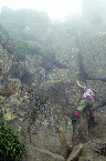
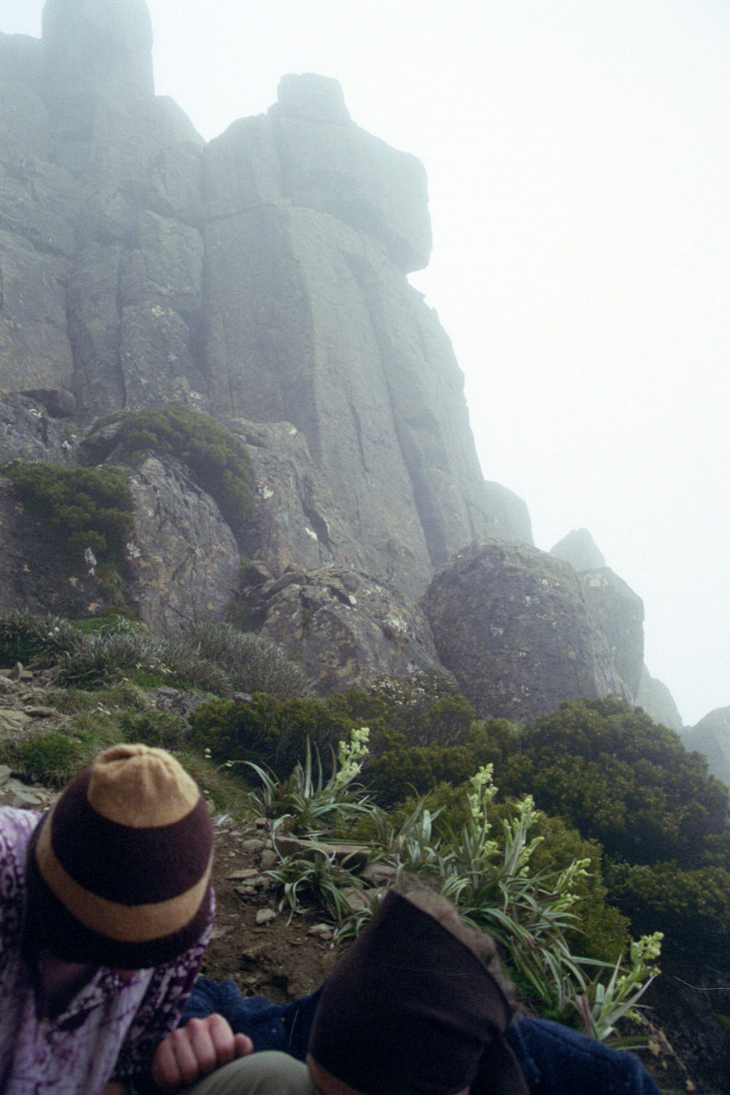
 Low Res High Res We climb up that! OK, not the really steep part, but those nasty rocks were good.
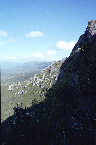
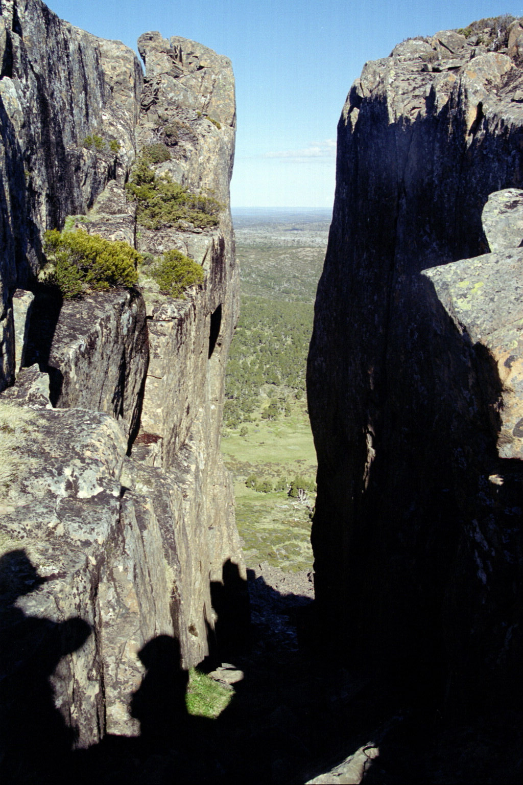
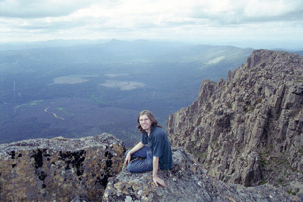
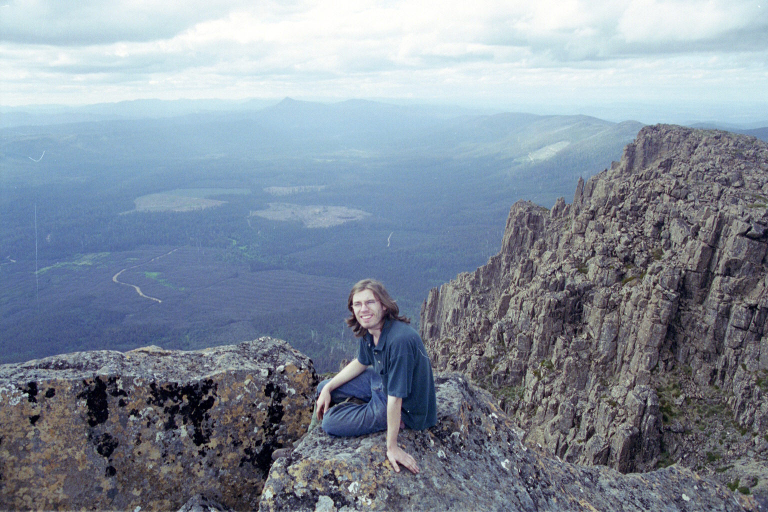
 Low Res High Res We are pretty much on the main part of the wall now. This was our exit path. Damn it was impressive.
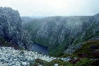
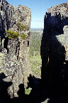
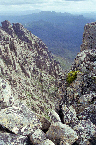
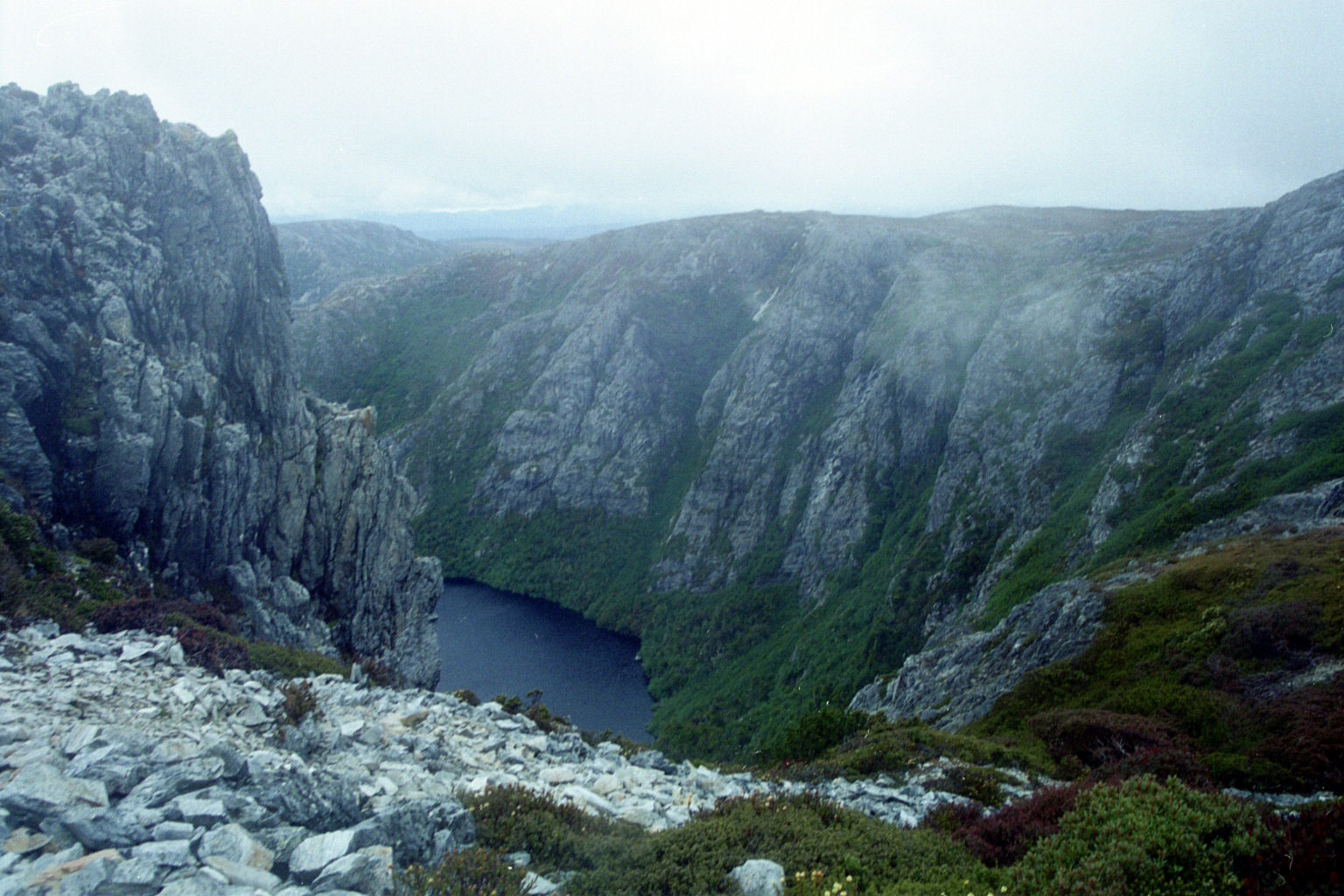
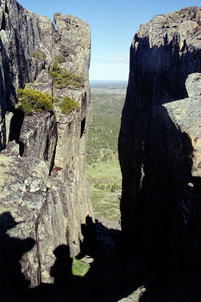
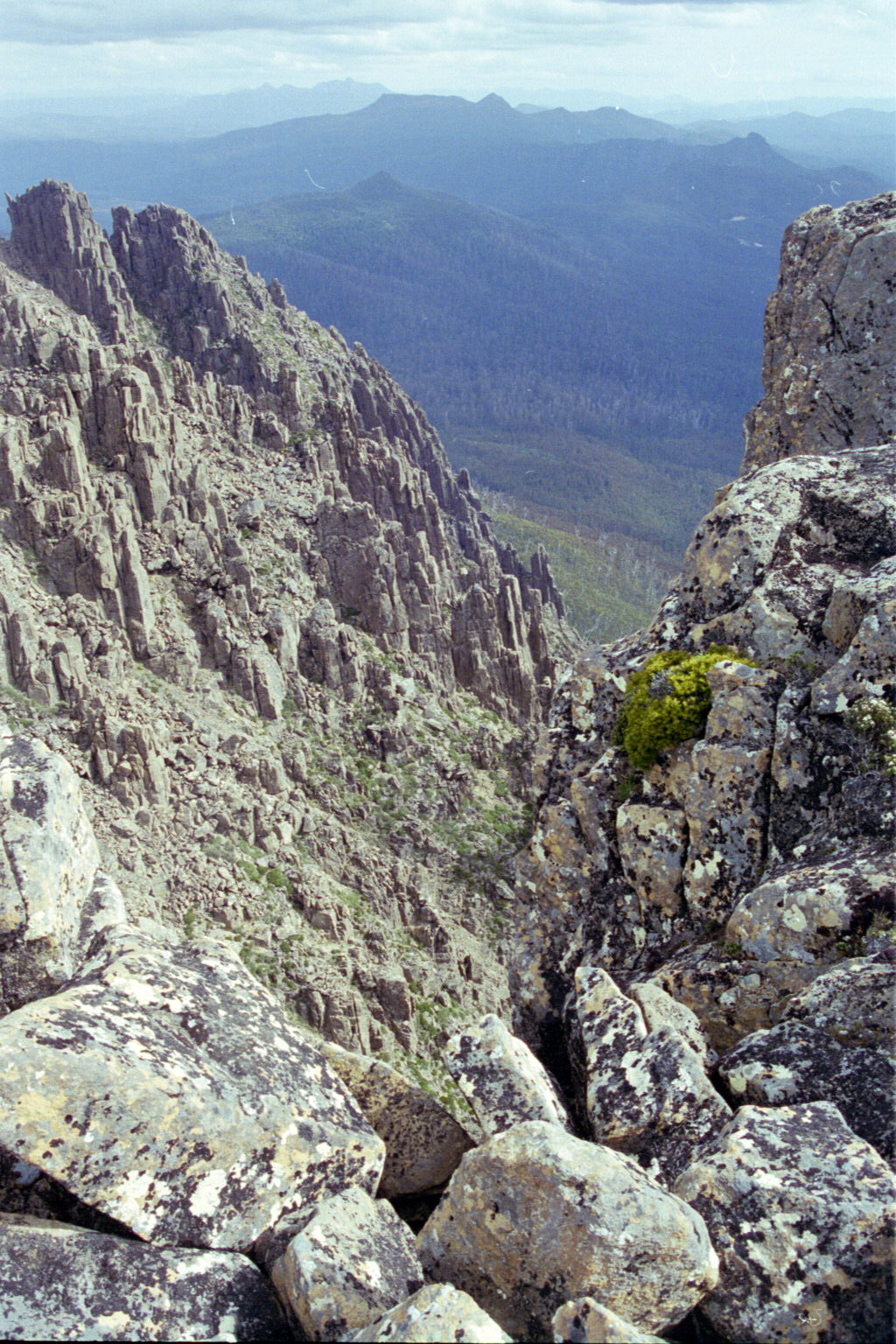
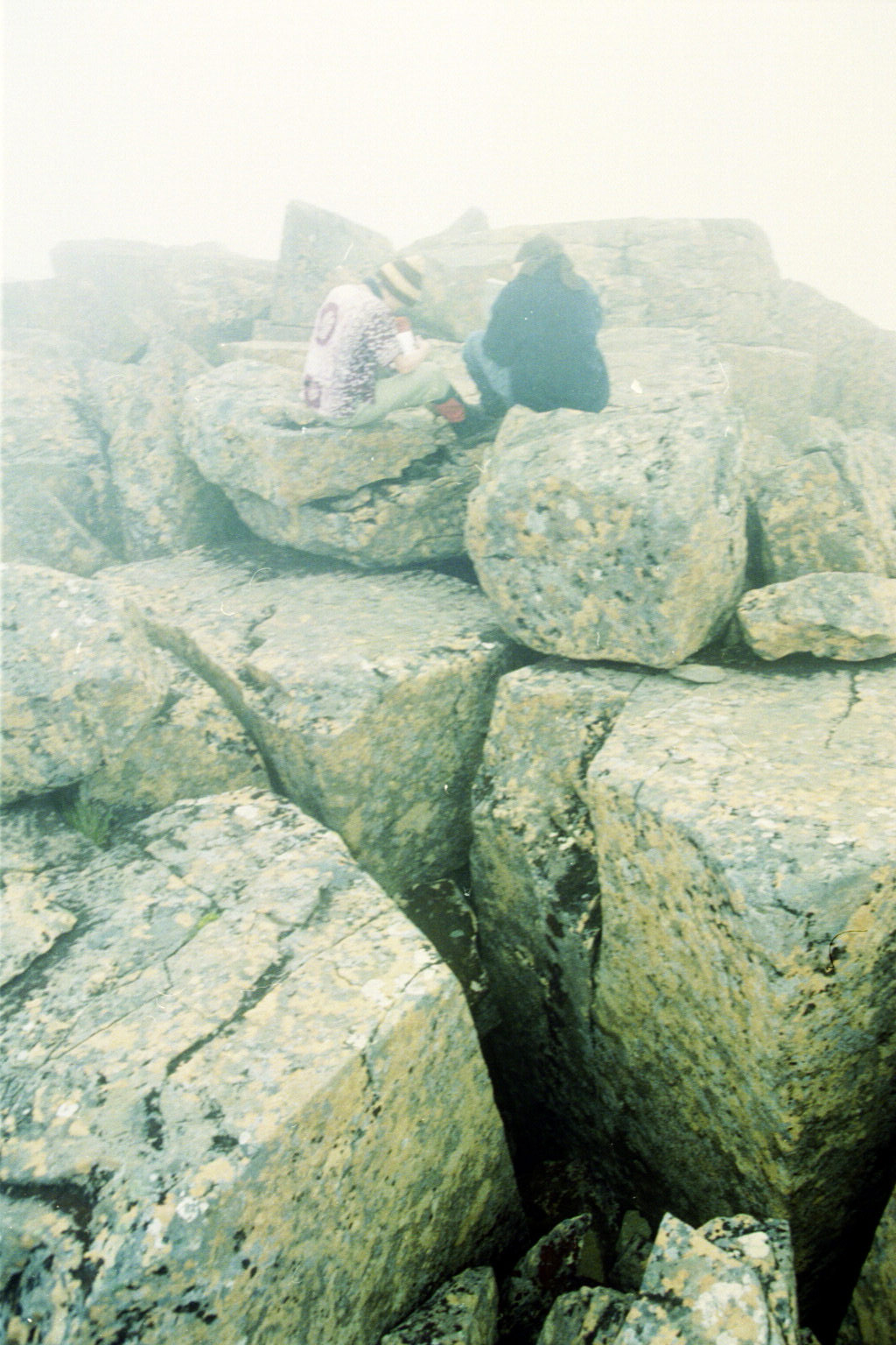
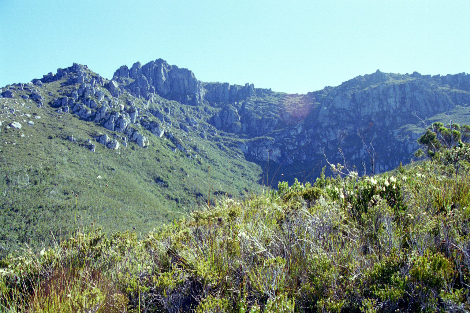
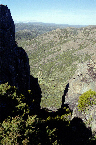 Low Res High Res Another one of those great chasms
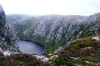
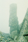
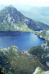
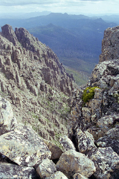
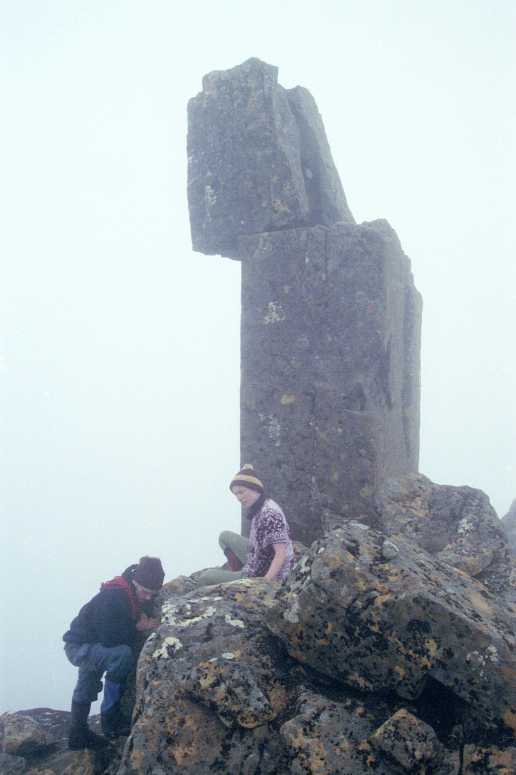
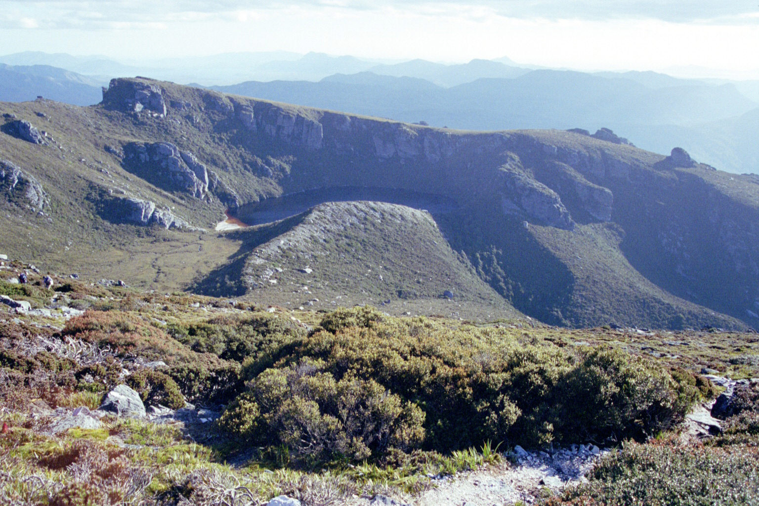
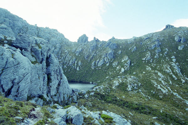
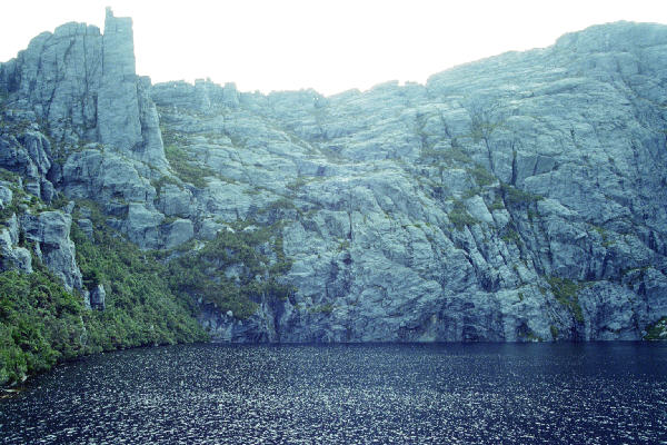
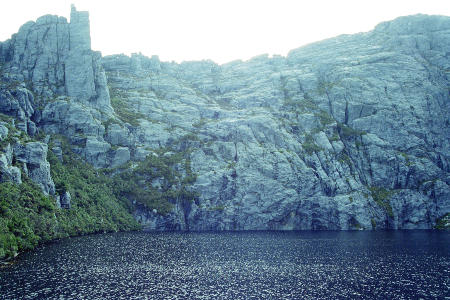
 Low Res High Res Solomon's throne. You can see David's Peak, and Lake Salome - which we swam and consequently froze in.
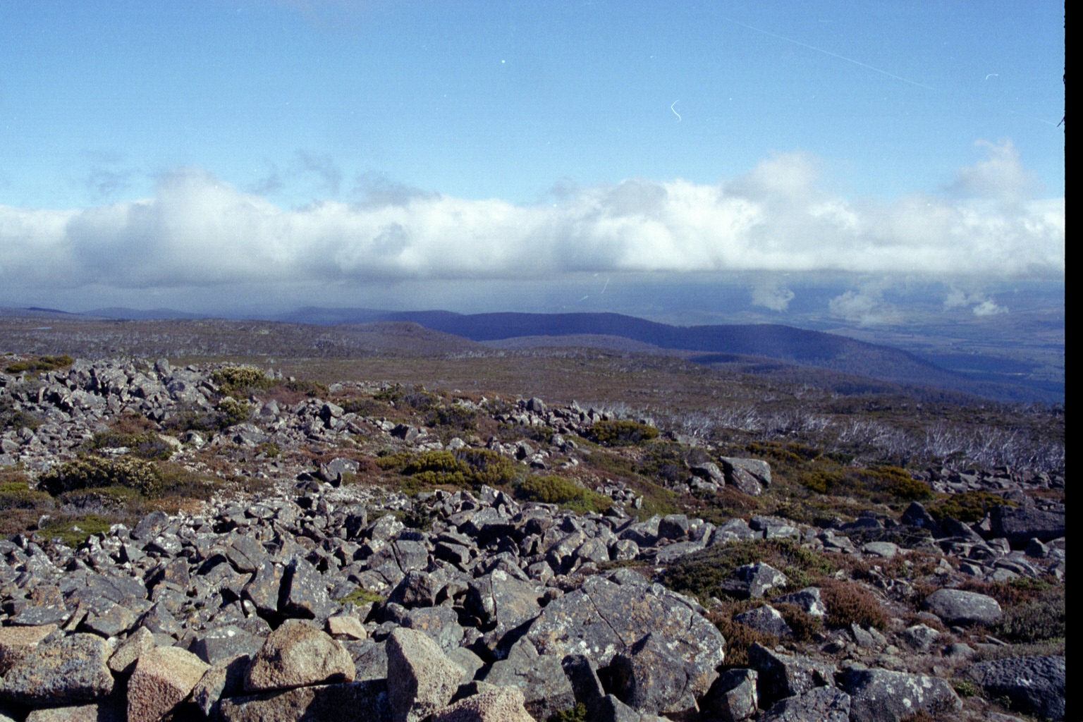
 Low Res High Res On top of Mt Field East. The rest of the climb up was pretty miserable, cold and wet, but the clouds parted just as we were peaking.
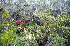
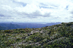
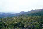
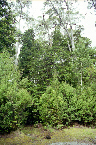
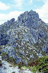
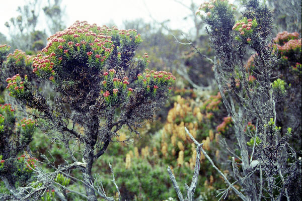
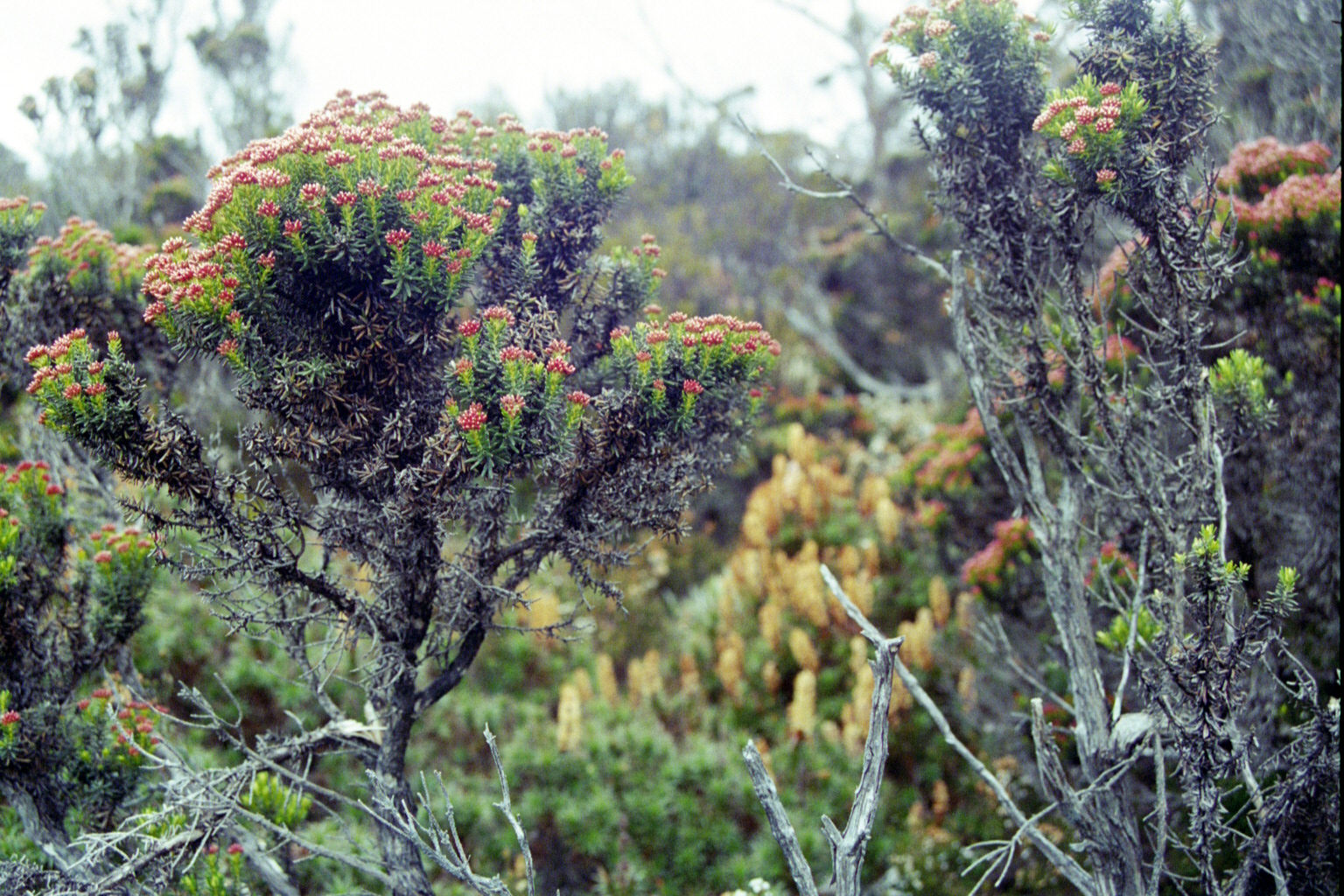
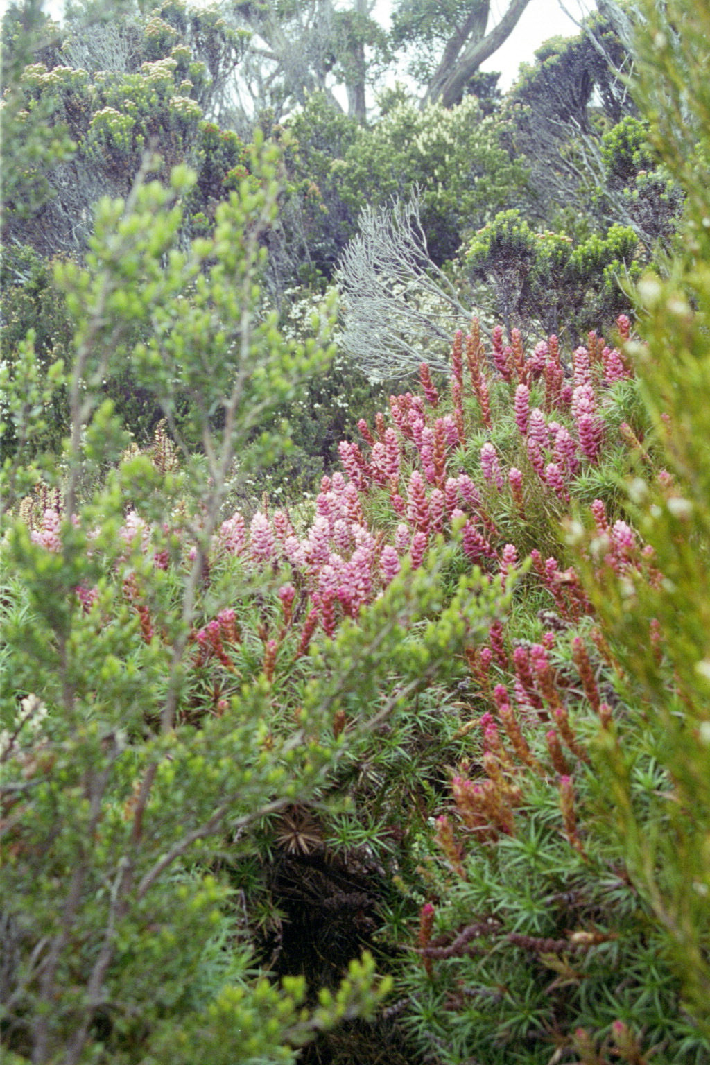
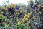 Low Res High Res The tasmanian flora is perfect
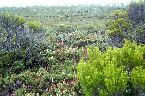
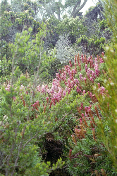
 Low Res High Res It was just like a garden
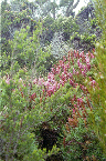
 Low Res High Res But big and natural
 Low Res High Res And very difficult to walk through.
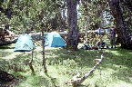
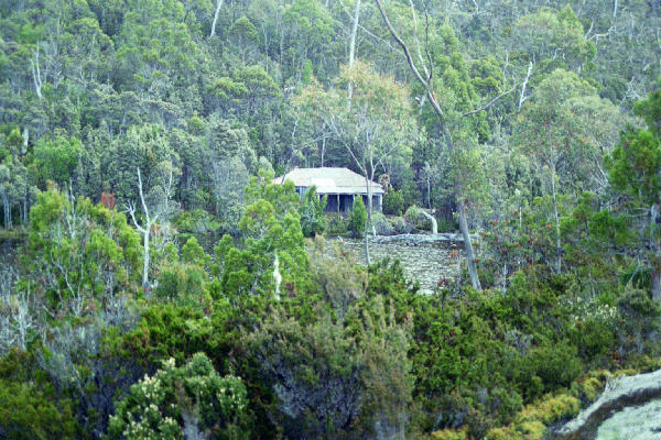
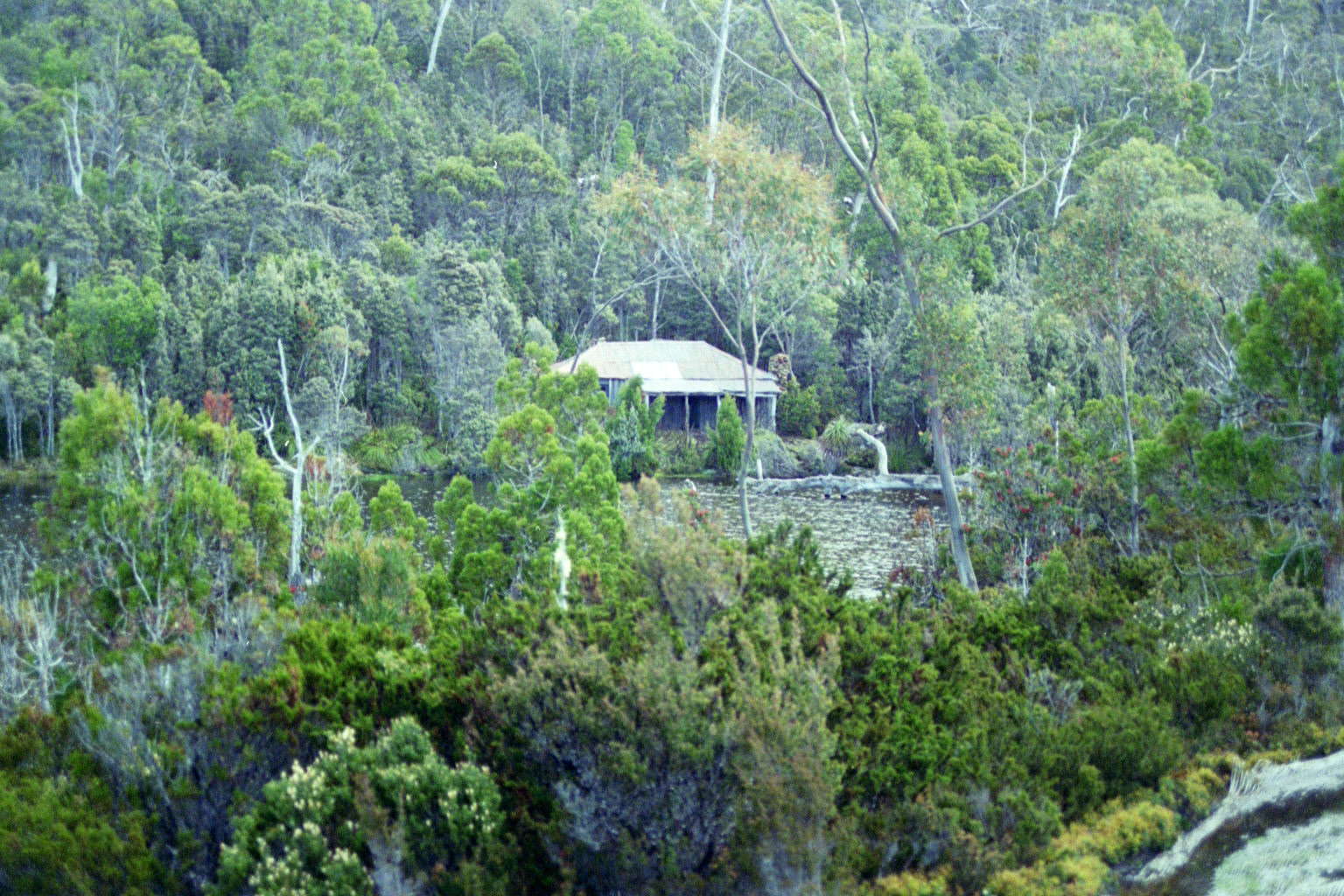
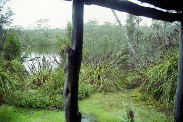
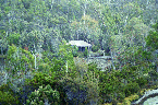 Low Res High Res The cabin where we stayed between Mt Fields East and West. The lake was "twighlight tarn".
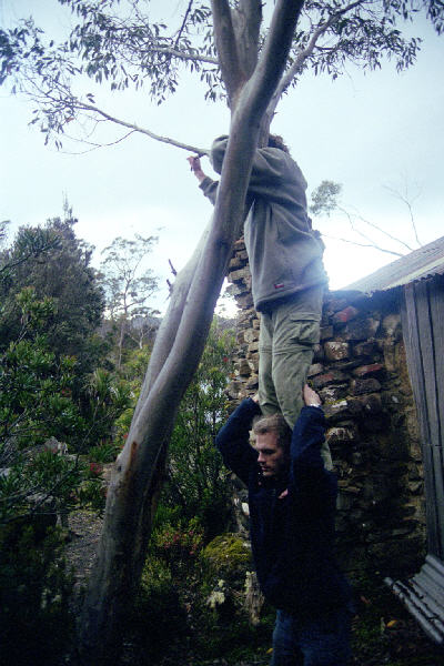
 Low Res High Res Grabbing some dead wood for the fire. That night was extrememly cold (I know - I was out at 3:00am looking for a comet), so the fire was very welcome, if short lived.
 Low Res High Res The tarn from our verandah.
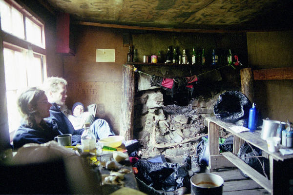
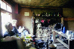 Low Res High Res Inside, waiting for food to cook
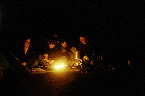
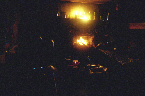
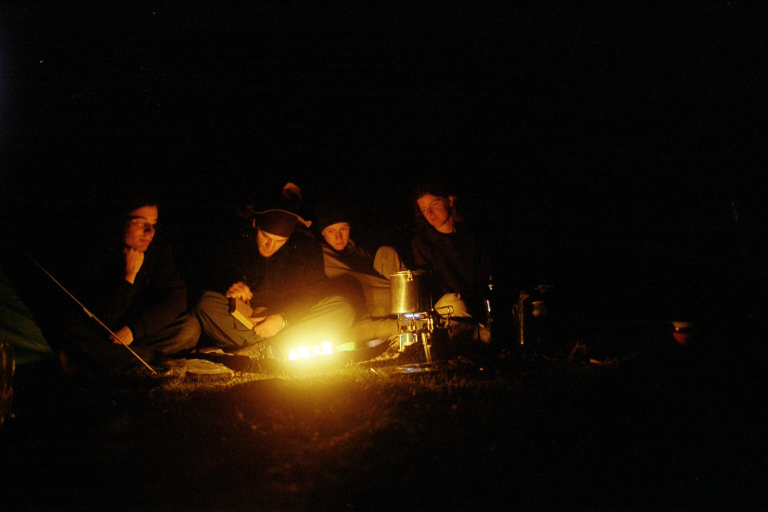
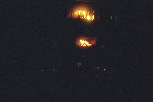
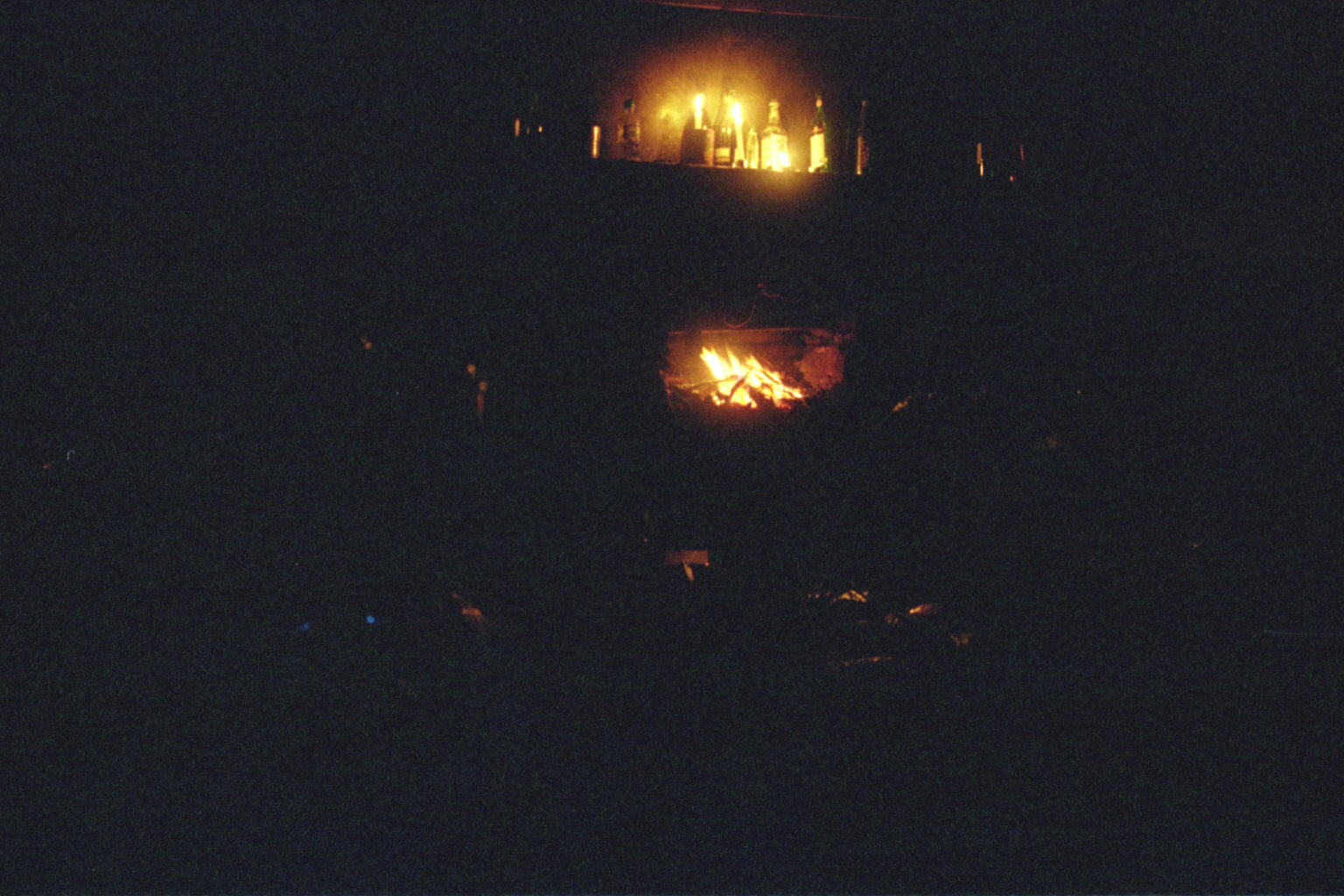
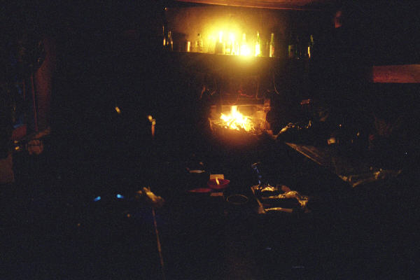
 Low Res High Res Campire, candles and stove.
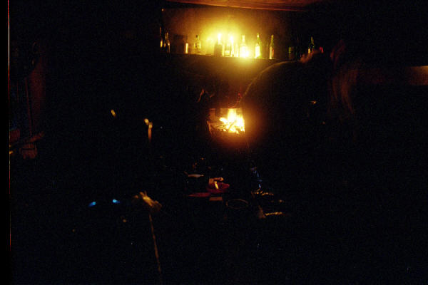
 Low Res High Res ditto
 Low Res High Res ditto
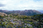
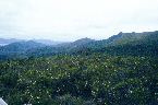
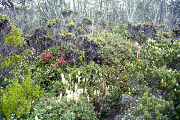
 Low Res High Res Another absolutely beautiful garden
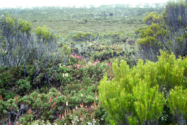
 Low Res High Res Same place
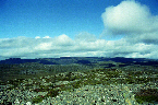
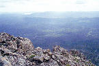
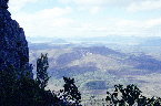
 Low Res High Res Looking at Mt Field West?
 Low Res High Res Somewhere
 Low Res High Res On top of Mt Field West
 Low Res High Res Ditto
 Low Res High Res Looking up close on one of the jaggered mountains in above scene.
 Low Res High Res Still on top of the Mt
 Low Res High Res Ditto
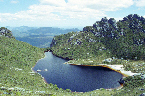
 Low Res High Res Some pretty cool shots of the lake below the camping spot
 Low Res High Res Ditto
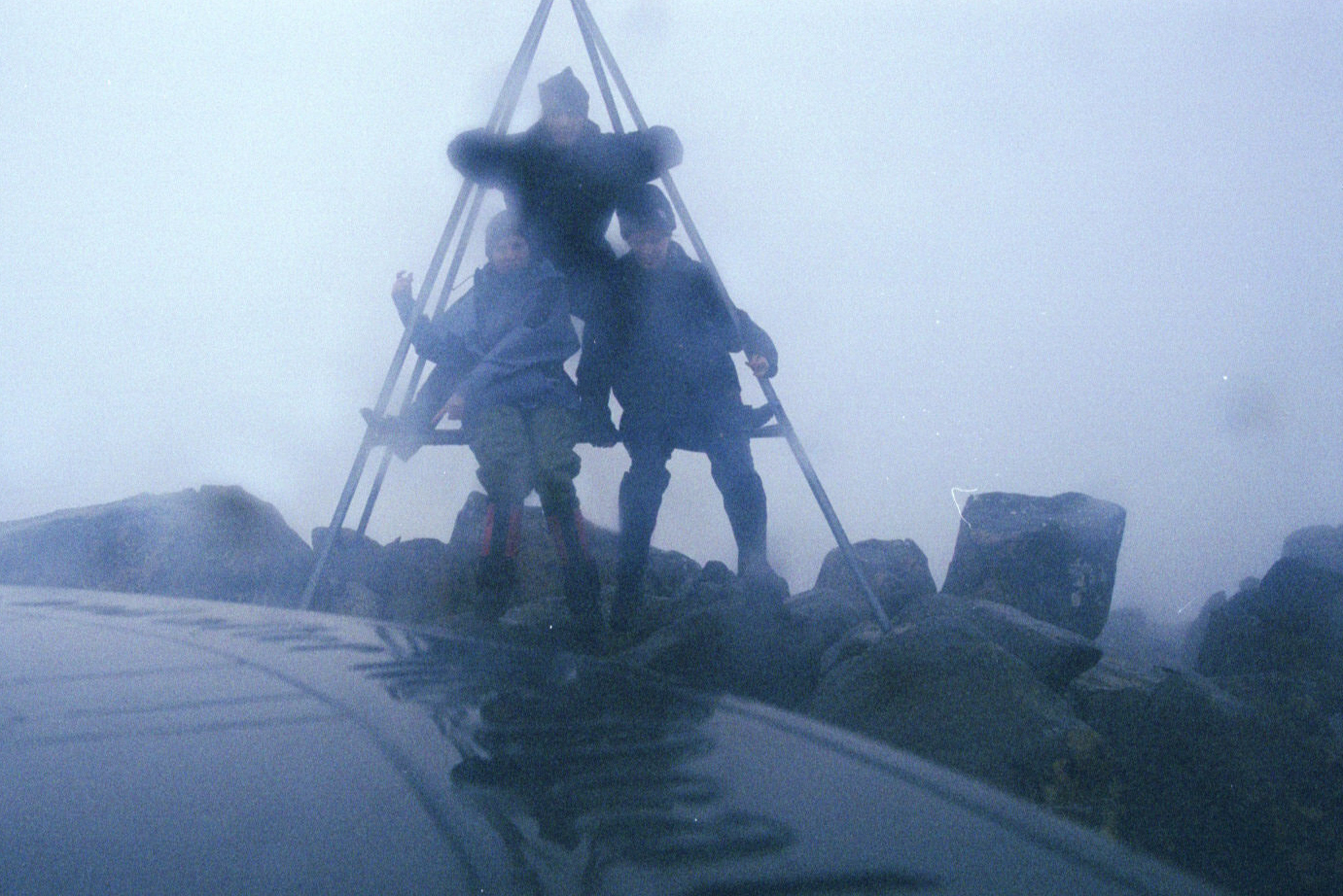
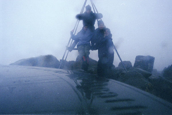
 Low Res High Res The chair lift in slightly warmer weather than it was designed for. See that slope down? We walked down that!
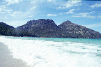
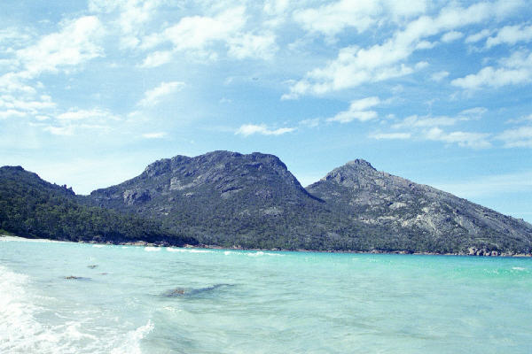
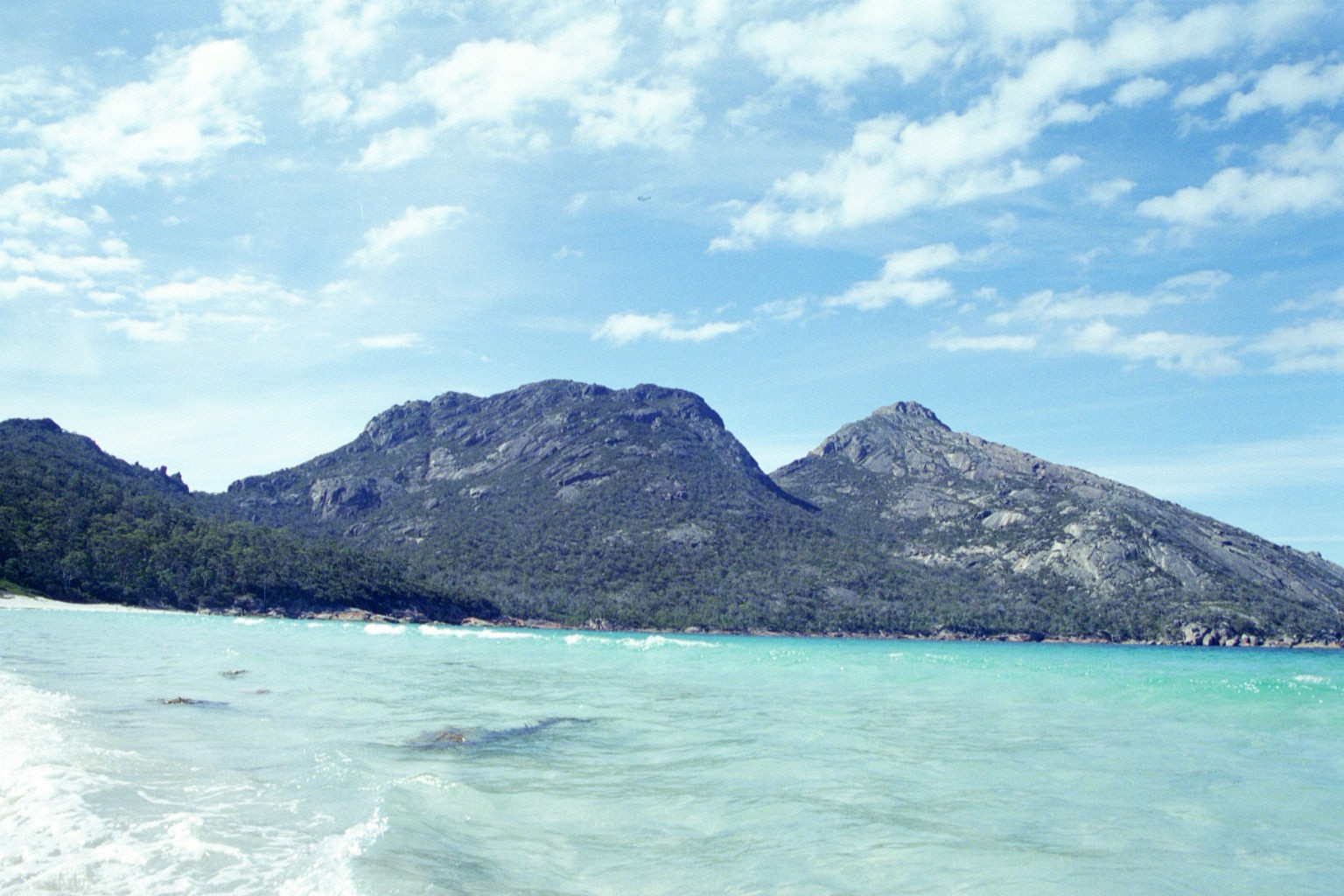
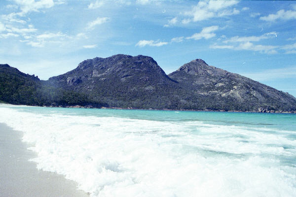
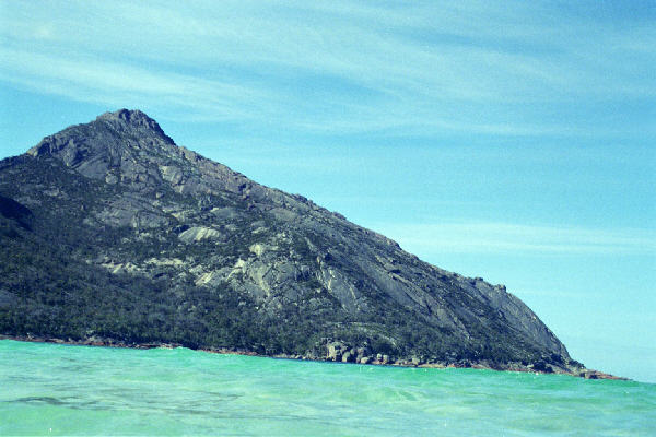
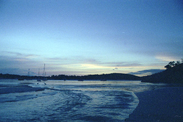
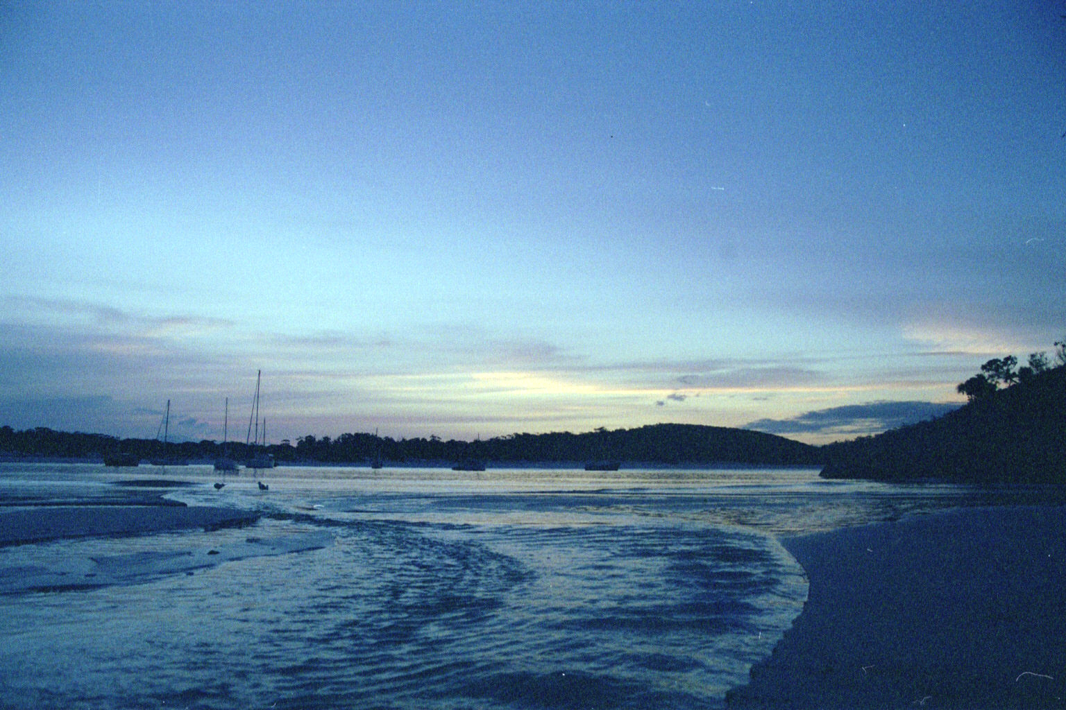
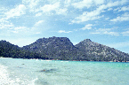 Low Res High Res Wine glass bay, taken from very cold water.
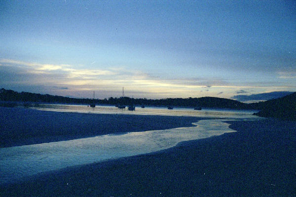
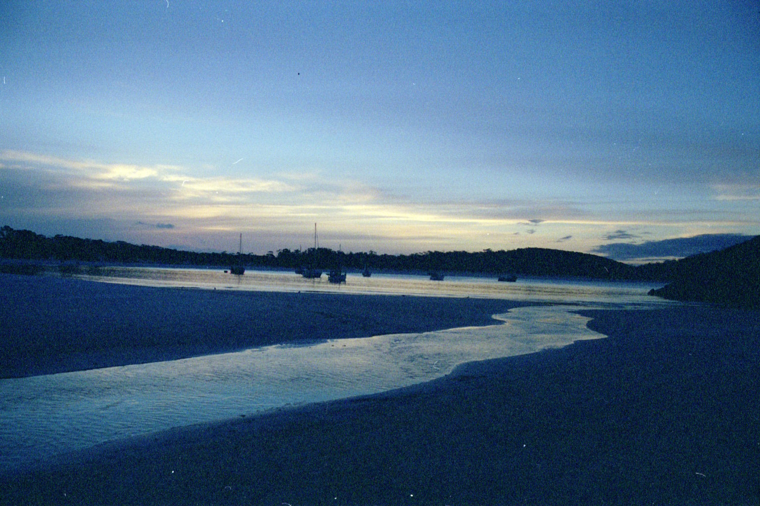
 Low Res High Res ditto
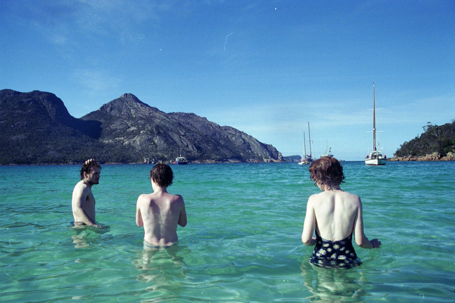
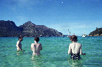 Low Res High Res Others shivering
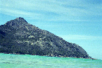 Low Res High Res I basically had the camera in the water for this shot
 Low Res High Res Sunset a bit overexposed at the bay
 Low Res High Res ditto
 Low Res High Res ditto. A bit of image manipulation later, and I have the colors back to similar to what my eye saw it as.
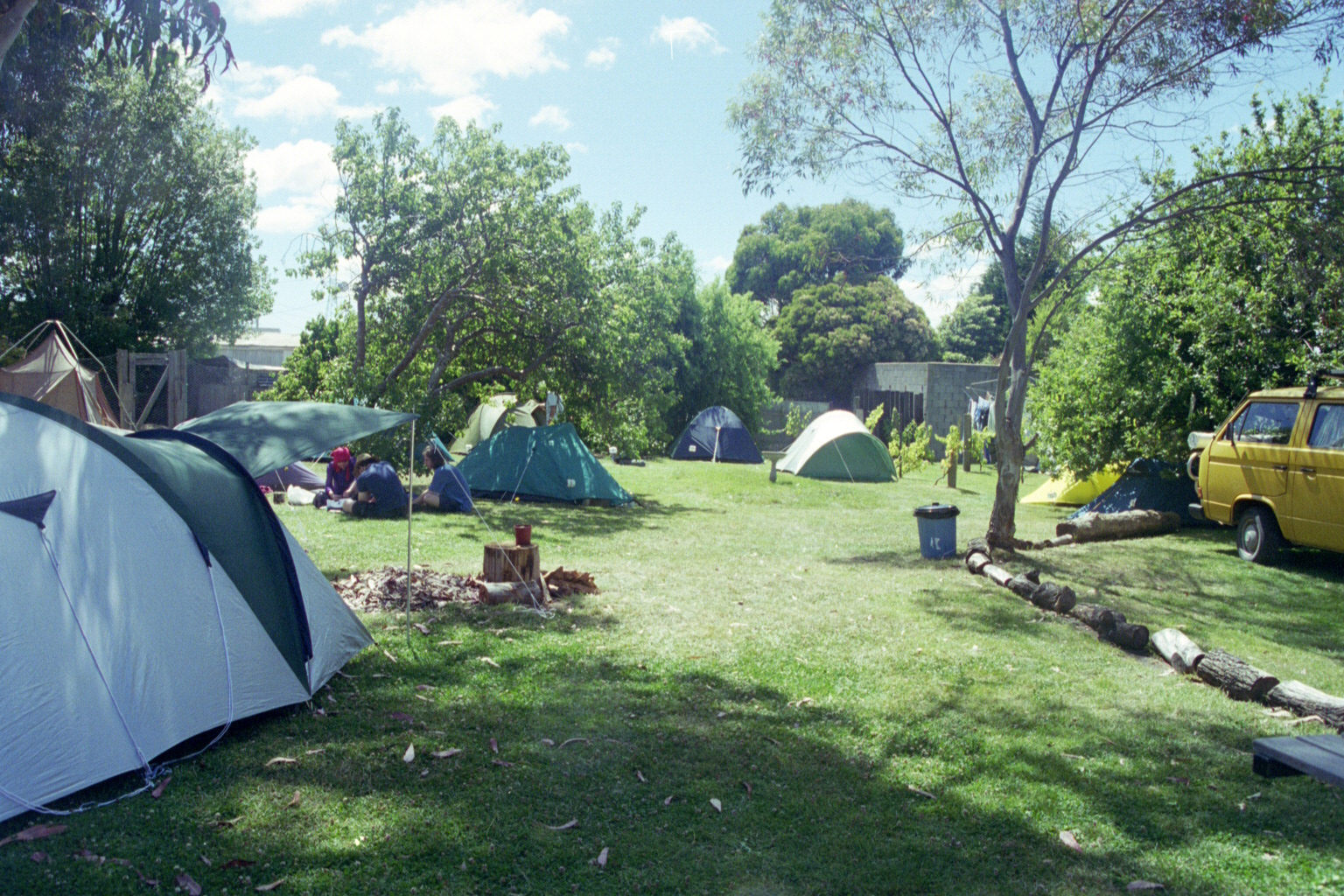
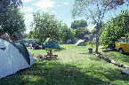 Low Res High Res Tent city - Music Festivaliers at Georgetown. This is just after Jocelyn left to go home. We went on to bigger and better stuff, and I am not now gloating that she missed out :)
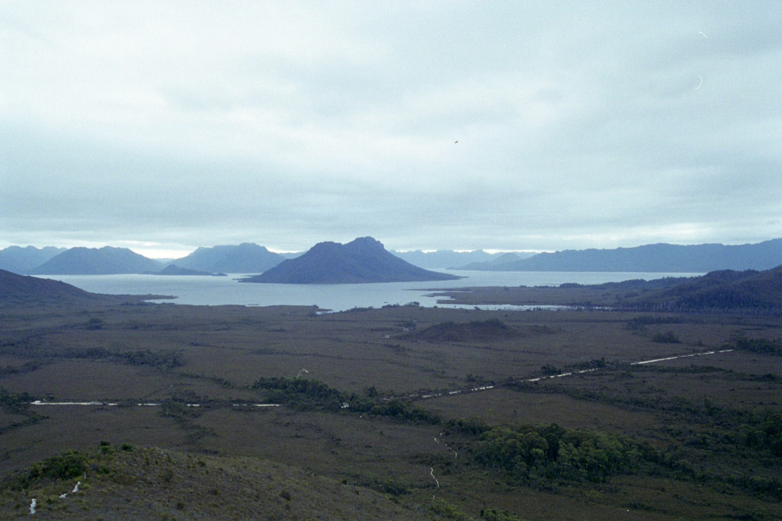
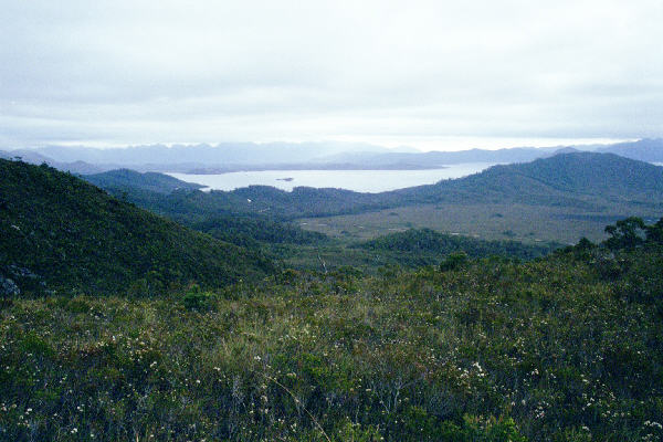
 Low Res High Res Lake Pedder - a giant artificial lake, on the way up to Mt Anne
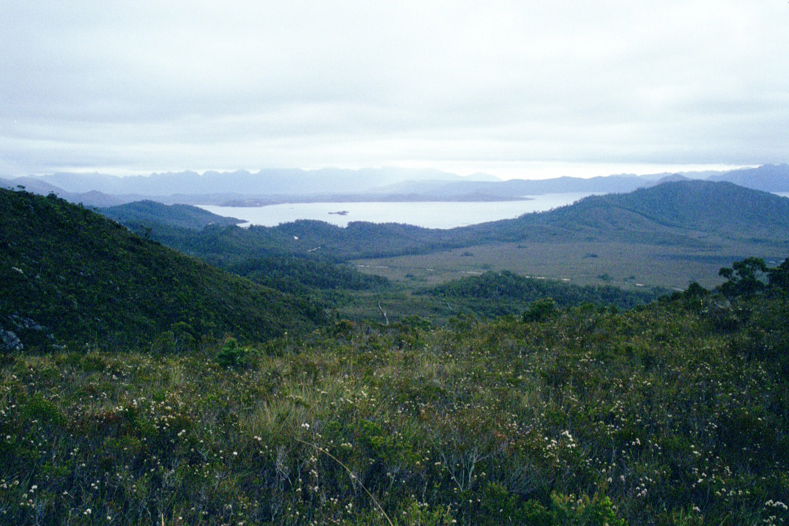
 Low Res High Res Ditto
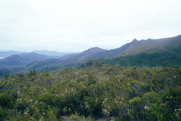
 Low Res High Res The girraffe head with a cherry on its nose. Forming the first of a set of 3 wide angle photos that form a 180o panorama.
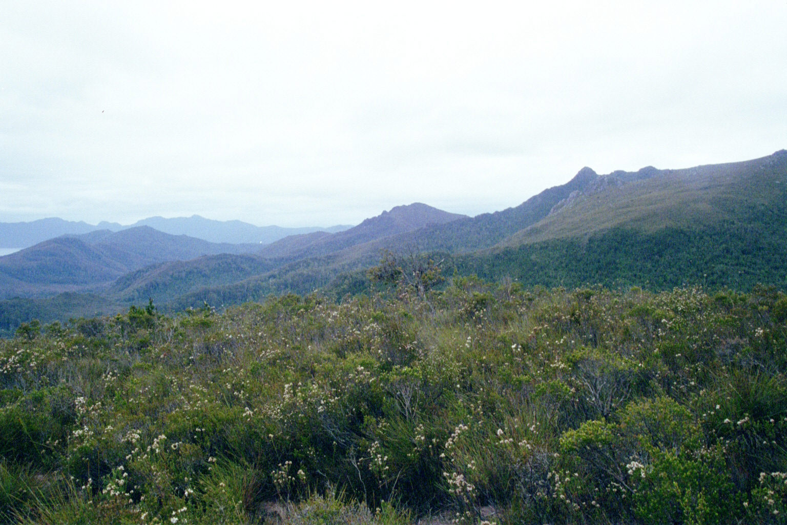
 Low Res High Res Second
 Low Res High Res Third
 Low Res High Res And a retake of 3rd
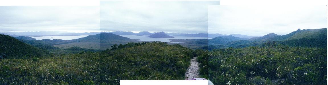
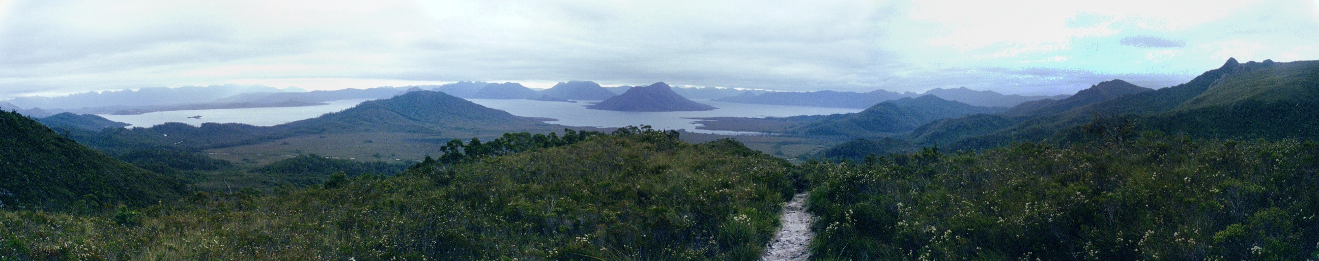
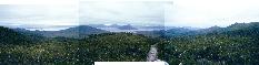 Low Res High Res And the final result (stitched
together with the aid of sticky tape)! A full 180o
panorama.
Low Res High Res And the final result (stitched
together with the aid of sticky tape)! A full 180o
panorama.
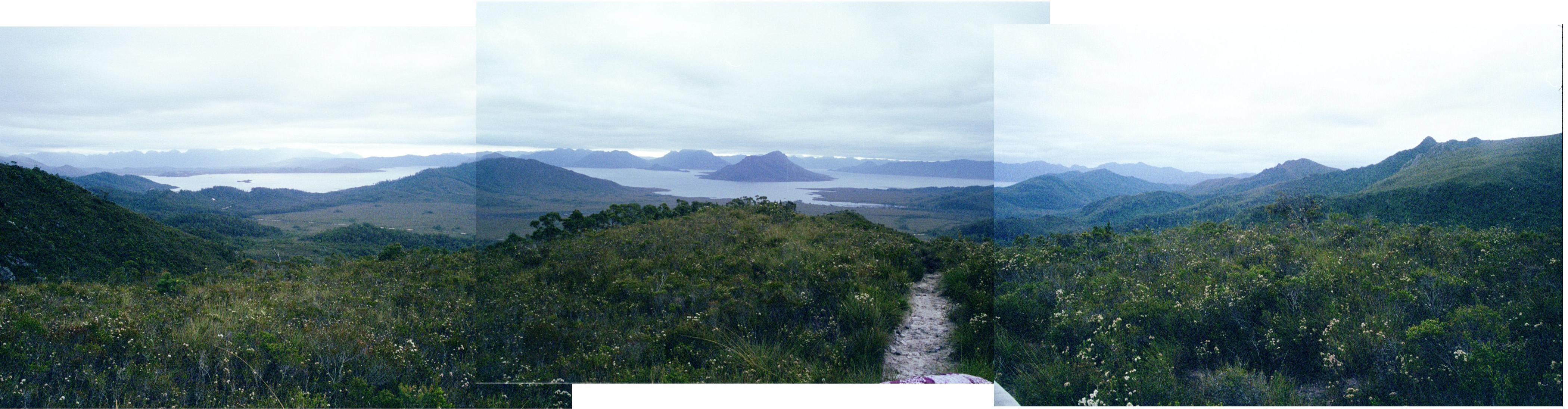
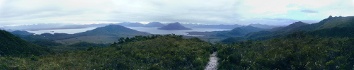 High
Res And a good fraction of a decade later, redone quickly with Hugin
High
Res And a good fraction of a decade later, redone quickly with Hugin
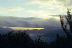
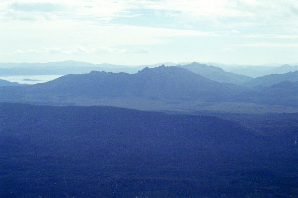
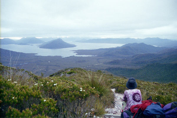
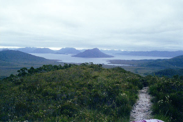
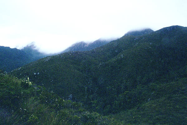
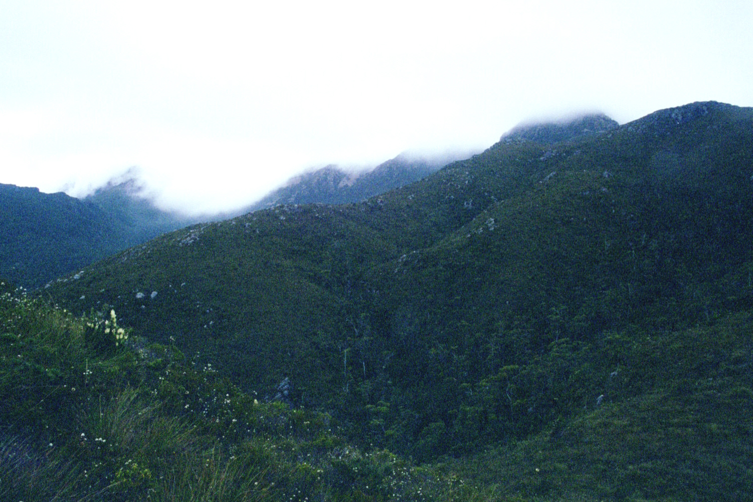
 Low Res High Res Mt Anne under cloud. This was a permanent feature of the mountain for the entire time we were up there and in the Western Arthurs, except one day when we saw the peak from the Arthurs
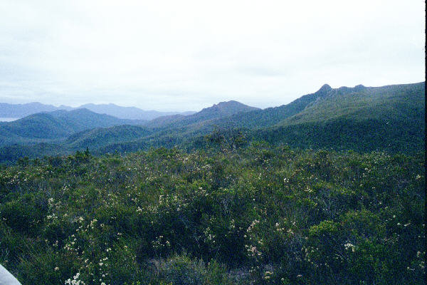
 Low Res High Res Ditto
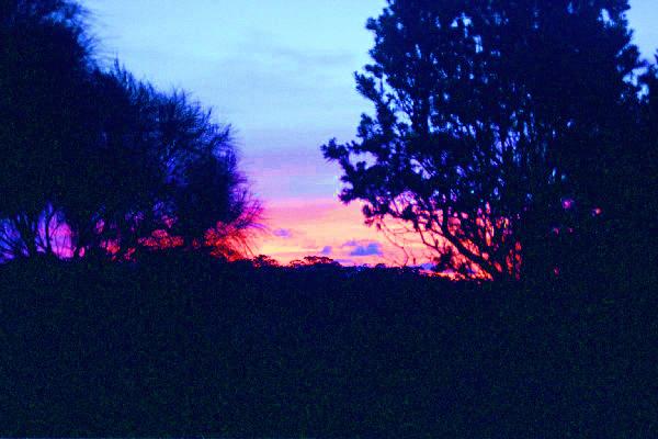
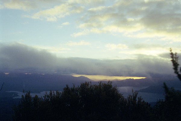
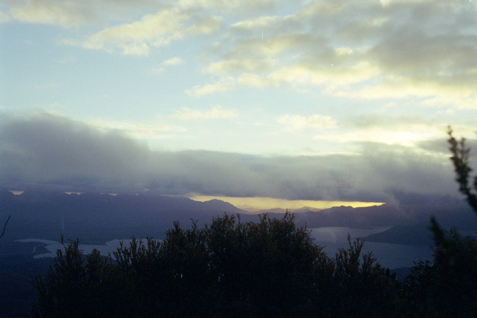
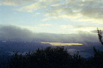 Low Res High Res Sunset - not quite as impressive as what our eyes saw
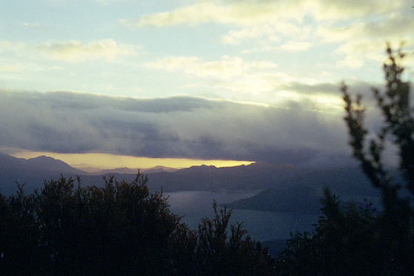
 Low Res High Res Ditto
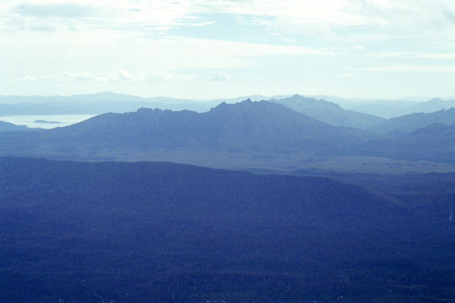
 Low Res High Res A demonstration of the slope we were climbing on the second day up Anne. In the corner of the lake, you can see the girrafe island. I hypothesise that the island was constructed as a memorial to the superintelligent jirrafe aliens who helped construct the mountains.
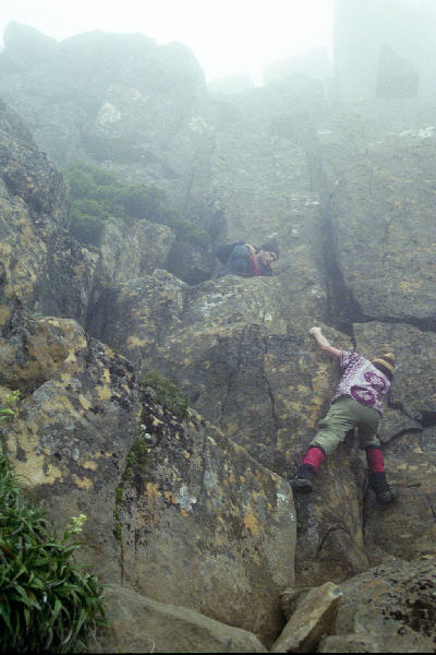
 Low Res High Res First difficult rock climbing of the climb up Anne. Awkward, steep, and a bit of a squeeze. Nadz's short legs prooved a challenge for her.
 Low Res High Res A pose: I got a bit stuck. Not as deep as many times, but I couldn't refuse the opportunity. Even if it was fake and it was really Nadz that got stuck.
 Low Res High Res Pondering
 Low Res High Res Argggg, rock climbing. Good thing we couldn't see what was below us.
 Low Res High Res On top of the world. Or at least
Southern Tasmania, anyhoo. Mt Anne Summit. The others never actually
reached the very top - they were content with sitting about 30 cm
below it. But your trusty camera man was at the top. Just a tiny bit
higher than those 3 bugs (yes John, beetles) all having a group orgy
thing on a tiny rock on the very top. Now what makes a beetle want to
have sex on top of the highest point in southern Tasmania? I don't
know, but it is certainly a new aspect (even though they have probably
been doing this for millions of years, dirty buggers, er beetles) of
the mile high club!
Low Res High Res On top of the world. Or at least
Southern Tasmania, anyhoo. Mt Anne Summit. The others never actually
reached the very top - they were content with sitting about 30 cm
below it. But your trusty camera man was at the top. Just a tiny bit
higher than those 3 bugs (yes John, beetles) all having a group orgy
thing on a tiny rock on the very top. Now what makes a beetle want to
have sex on top of the highest point in southern Tasmania? I don't
know, but it is certainly a new aspect (even though they have probably
been doing this for millions of years, dirty buggers, er beetles) of
the mile high club!
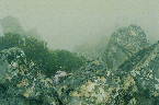
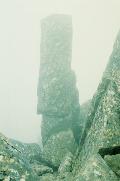
 Low Res High Res A rock
 Low Res High Res A fascinating rock
 Low Res High Res And now for getting back down. D'oh! Notice why we weren't as worried by the heights as one might expect?
 Low Res High Res Changing the film - accidental shot
that almost worked out! (Camping spot between Mt Anne and the Western
Arthurs) This was after I finally managed to remove the broken part of
the lense, after falling on a rock up Mt Anne. Foruntately, no damage
done to the camera (or my head, which the camera served to protect)
except the UV filter, which I am yet to replace (lack of money, you
see)
Low Res High Res Changing the film - accidental shot
that almost worked out! (Camping spot between Mt Anne and the Western
Arthurs) This was after I finally managed to remove the broken part of
the lense, after falling on a rock up Mt Anne. Foruntately, no damage
done to the camera (or my head, which the camera served to protect)
except the UV filter, which I am yet to replace (lack of money, you
see)
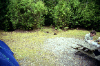
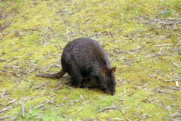
 Low Res High Res Small kangaroo like object, and big tree.
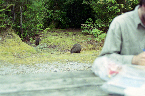
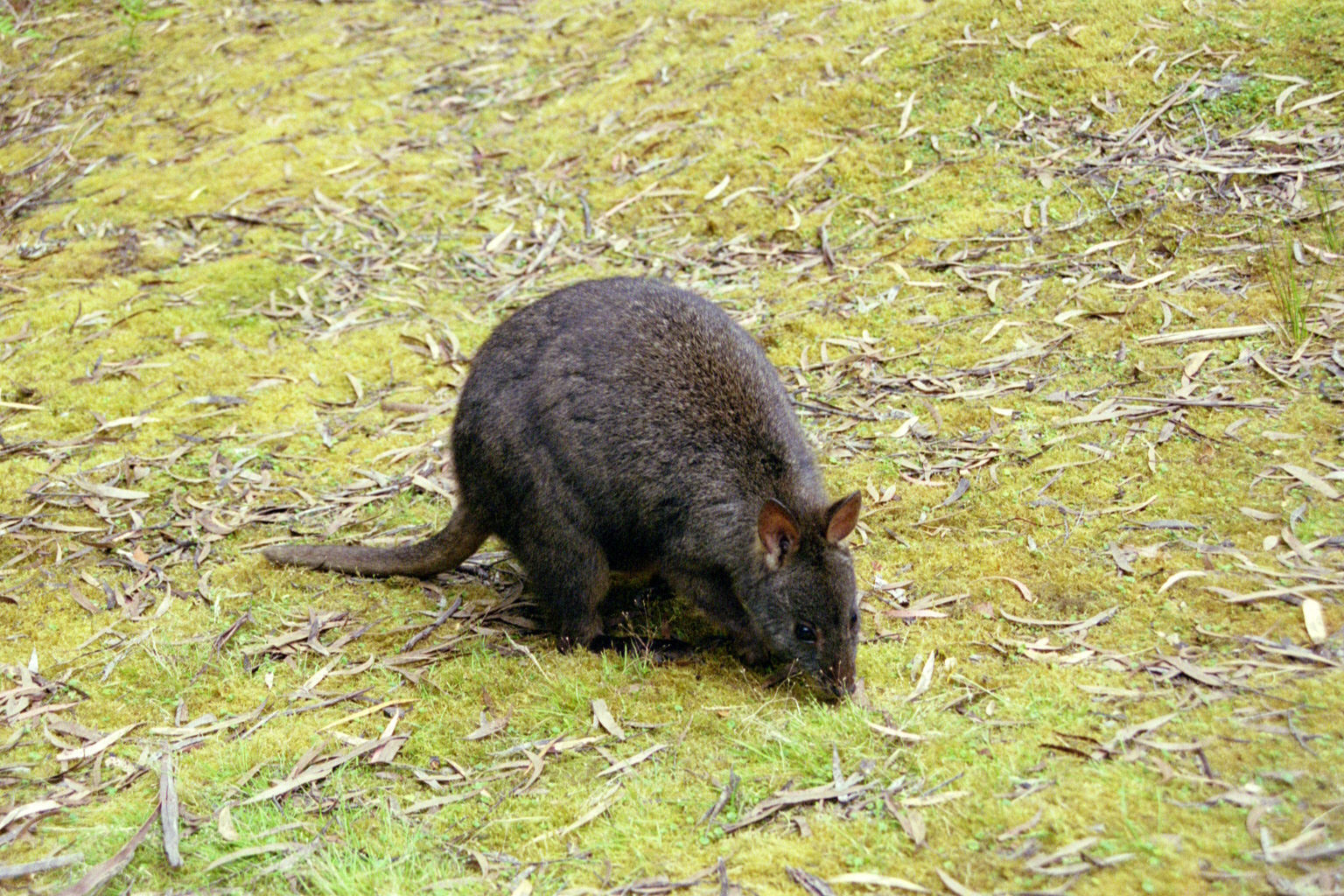
 Low Res High Res Tame little buggers. They obviously wanted food
 Low Res High Res Ditto
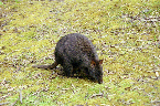 Low Res High Res I couldn't compete with John's telephoto lense, so I just got real close instead.
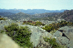
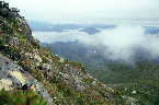
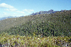
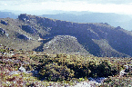
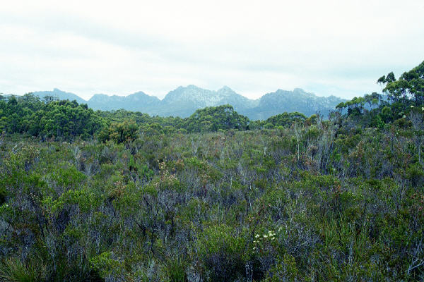
 Low Res High Res Western Arthurns from afar
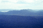
 Low Res High Res Some Mtn north of them
 Low Res High Res Ditto?
 Low Res High Res Golly gosh, we were climbing this?
 Low Res High Res Eek!
 Low Res High Res There's Mt Anne, under cloud as usual
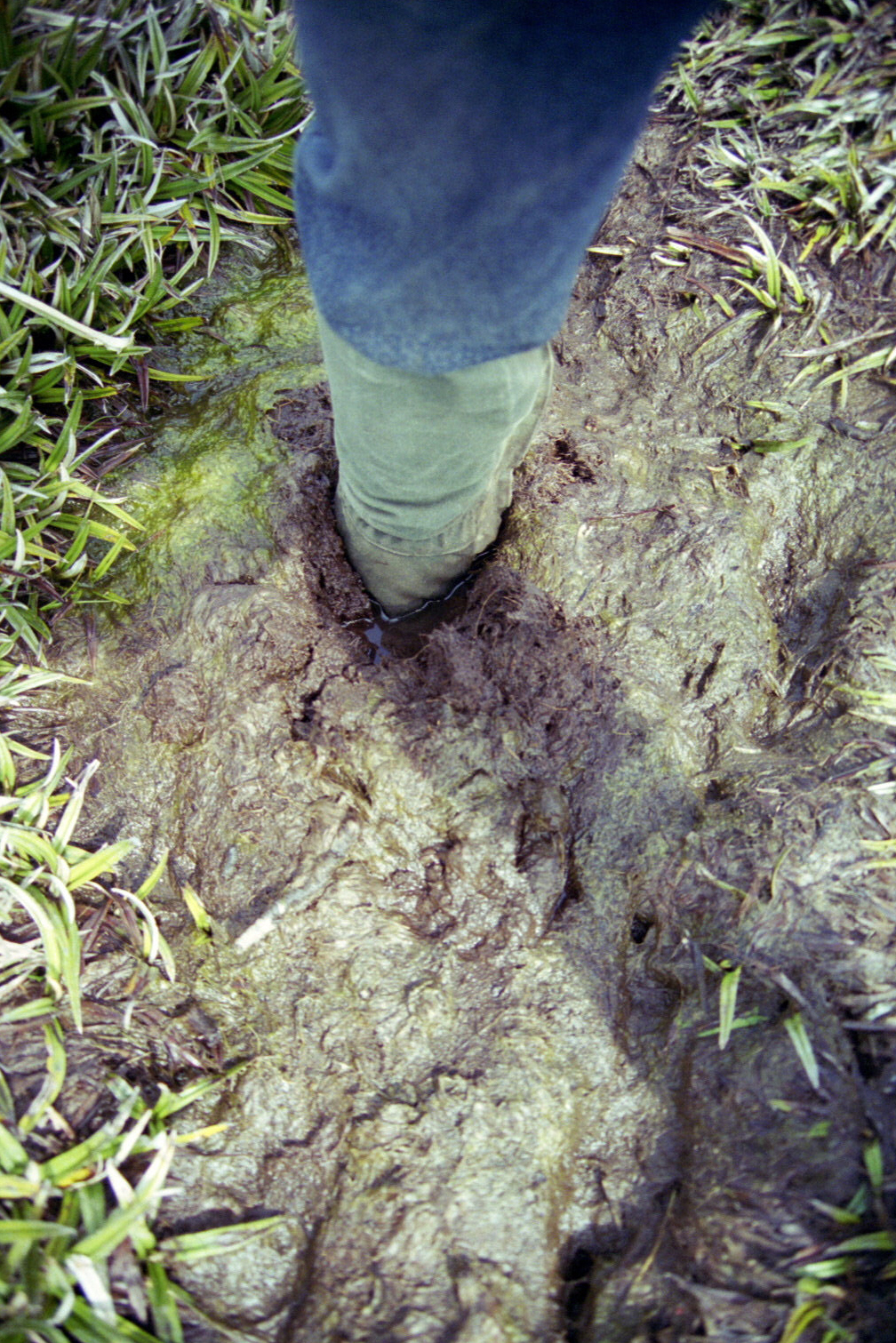
 Low Res High Res The flying monkey. This was Mt Eliza. I was buggered as hell, from that absolutely hideous crawl up, so my progress for the rest of the day was extremely slow. You can see the very muddy track (sort of) going into the distance - made for very difficult progress.
 Low Res High Res The others from a neat vantage point. A very desrved lunch followed
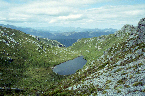
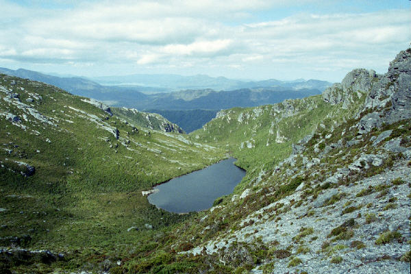
 Low Res High Res One of the lakes on the way to the campsite
 Low Res High Res Ditto
 Low Res High Res The campsite, finally. I had a hard time keeping upright from here on in - it was very steep going back down.
 Low Res High Res Ditto
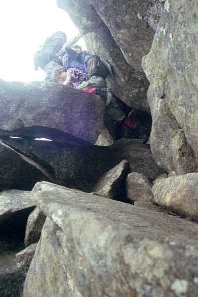
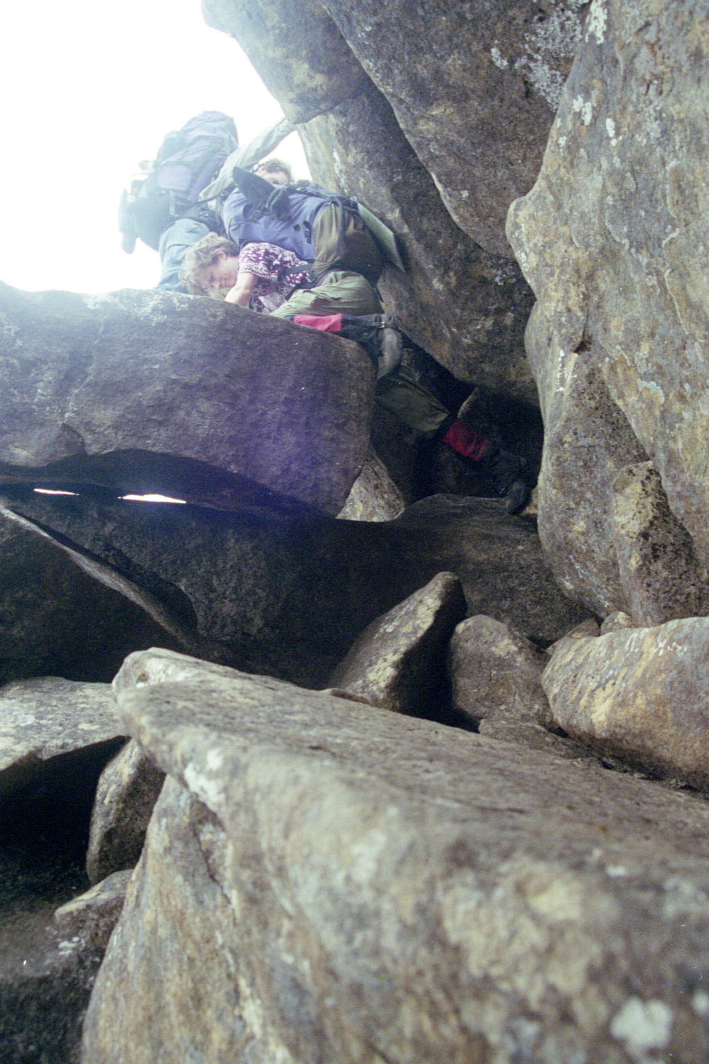
 Low Res High Res Sunset, from inside the hole
 Low Res High Res Inside the hole
 Low Res High Res Our second last day walking. And our most difficult - even more so than yesterday. An attempted group photo. The camera slipped on the rock as the timer was rolling
 Low Res High Res So this time, I got it right!
 Low Res High Res Our final walk around a lake.
 Low Res High Res It was a lovely lake that Nadz and John threatened to swim in. We later walked along that ridge
 Low Res High Res A ridge we walk up
 Low Res High Res And our final lake. This was the end of the road for us - we were already 1 hour behind schedule, and had a long walk back ahead of us.
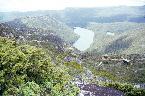
 Low Res High Res A lovely river system back into it.
 Low Res High Res And then a shot of our previous camping site and lake as we were walking back around it to go home.
All over :(
Back to work :(
 - Tim Connors
Last modified: Fri Sep 18 03:47:49 EST 2009
- Tim Connors
Last modified: Fri Sep 18 03:47:49 EST 2009